
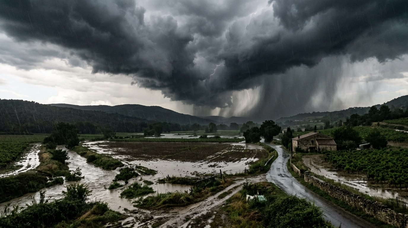
260 millimeters of rain in just three hours, including 138 millimeters in a single hour: this is the tally of a storm that remained stationary in the Gard in September 2021. A number that turns the stomach, and which is far from a meteorological accident. This type of episode has a precise name among forecasters: the V-storm. A rare phenomenon, but incredibly effective, which regularly makes headlines around the Mediterranean. Understanding how it works also helps better anticipate intense episodes.
- A V-storm is a stationary multicellular thunderstorm system, recognizable from satellites, where new cells continually regenerate at the tip of the V, potentially lasting from one to ten hours.
- In this regeneration zone, Meteo-France mentions intensities of 50 to 100 mm of rain per hour, capable of producing exceptional totals.
- This phenomenon regularly affects the Mediterranean coast in late summer and autumn, as illustrated by episodes in the Gard and Hérault in 2021, 2024 and 2026.
- What exactly is a V-storm?
- Why does the V tip concentrate all the hazards?
- The Gard in September 2021, a concrete example of this extreme phenomenon
- What to remember about this type of storm
A V-storm, what exactly is it?
Météo-France defines the V-storm as a particular case of multicellular thunderstorm activity. On infrared satellite images, its signature is unmistakable: a V shape, sometimes a U or an ring, spanning large distances. It is also described as a meso-scale system whenever its horizontal extent exceeds 100 kilometers in a single direction. What makes this phenomenon so distinctive is its formation mechanism: storm cells rise to around 3,000 meters in height while following the wind, while the cloud anvil spreads near the tropopause, at roughly 10,000 meters. This plume unfolds slowly, fed by warm, moist air, and by terrain that favors the convergence and ascent of this air. It is precisely this combination that explains why the Mediterranean is so exposed, caught between pronounced relief and a sea that stays hot in summer and autumn.
Why the V tip concentrates all the hazards
In this kind of system, the storm cells move, but new cells continually form in the same place. That fixed point is the V tip, the area where storms regenerate without end and where rainfall can become the most intense. This is where the real dangers lie: torrential downpours, strong electrical activity, and rainfall totals that can become extraordinary if the system remains stationary for several hours. Meteo-France notes intensities of 50 to 100 millimeters of rain per hour in these regeneration zones, a pace capable of generating substantial totals. The phenomenon is rare, but it can last from one to ten hours, as the cells keep regenerating at the same spot. In other words, the longer the storm lingers on its tip, the higher the rainfall totals climb into dangerous territory.
The Gard in September 2021, a concrete example of this extreme phenomenon
The Gard episode of September 2021 perfectly illustrates this mechanism. In three hours, the storm dumped 260 millimeters of rain on the same area, including 138 millimeters in a single hour and 20.5 millimeters in just five minutes. A total that provides a very tangible sense of what it means for a storm to stay stationary as a V-storm. It isn’t an isolated incident in the region: Meteo-France also cites the Nîmes storm in October 1988, the Vaison-la-Romaine storm in September 1992, and the floods in the Aude in November 1999. More recently, a stationary storm hit the Gulf of Fréjus in September 2024, with intense electrical activity lasting several hours. And recent news confirms that this risk remains active in the Gard and Hérault. By late September 2026, the Saint-Hippolyte-du-Fort station logged 337.6 millimeters between the evening of the 29th and the morning of October 1st, during an exceptional Mediterranean episode that prompted a red rain-flood alert for the two departments. In early October, another episode produced 150 millimeters in the Hérault hinterland, forcing eleven people to be evacuated by firefighters. Mid-October, an orange alert was triggered for potentially stationary showers, with expected totals of 200 to 250, and locally 300 millimeters over the episode.
What to remember about this type of storm
Facing a V-storm, the main danger lies in the exceptional accumulation of precipitation over a given area, particularly along the coast or in the Mediterranean hinterland. As Meteo-France notes, this phenomenon features storms that can regenerate on-site for one to ten hours. The V tip can remain stuck for a very long time, leading to substantial and rapid rainfall totals. Keep in mind that this phenomenon mainly affects the Mediterranean rim in late summer and autumn, requiring close attention to vigilance levels, up to red alerts, triggered by authorities during intense Mediterranean episodes.
A V-storm is far from trivial: behind this signature spotted on infrared satellite images lies a mechanism capable of generating, within hours, exceptional totals, driving hazardous situations. The latest episodes in the Gard and Hérault underscore this with force. Understanding that regeneration occurs at the V tip helps grasp the danger of these systems as soon as Meteo-France issues warnings related to the risk of stationary thunderstorms.
