
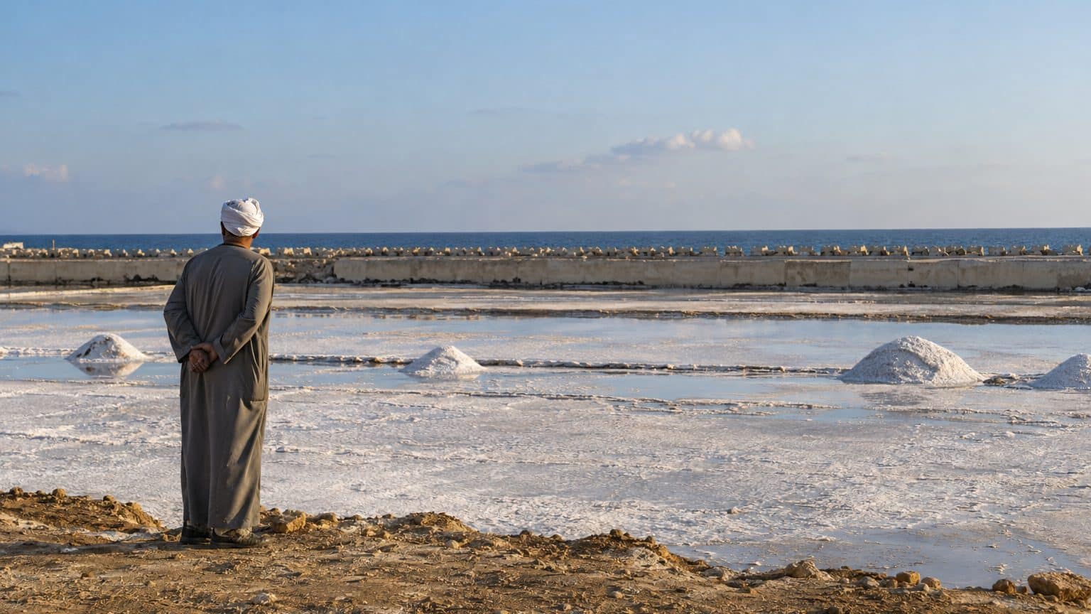
Between 1985 and 2023, the Nile Delta lost 18.7 km² of land along its 240-km coastline, according to a study published in 2025 in GeoJournal. This amounts to about 49 hectares per year, the equivalent of 2,600 football fields reclaimed by the Mediterranean over 38 years. The study points to one culprit: the Aswan High Dam, which cut off the sediment supply to the delta.
- The Nile Delta lost 18.7 km² of land between 1985 and 2023
- 64% of this loss concentrates on the Rosette and Damietta promontories
- The Aswan High Dam reduced sediment supply to near zero
A promontory retreat visible on satellite images
In the study’s comparison of 1985 and 2023 satellite images, the coastline no longer coincides. The loss is not evenly distributed: 64% centers on the Rosette promontory to the west and the Damietta promontory to the east, near 12 km². These are the two branches of the Nile that flow into the Mediterranean.
At Rosette, retreat reaches up to 12.4 m per year, roughly the length of a bus.
Earlier work conducted before the installation of protective structures recorded an average retreat of 137.4 m per year on this same promontory. These protections exist: rows of concrete barriers installed in the 1980s and 1990s line the coast where the river meets the sea. They slow the retreat but do not stop it, in a city about a 40-minute drive from Alexandria. A 550-year-old fortress is among the sites that erosion threatens, The National reported in 2023.
The projection remains: the same study forecasts 420 m of additional retreat by 2050, more than the height of the Eiffel Tower. Of the 18.7 km² lost, about 12 km² involve the two promontories, and 6.7 km² the rest of the 240 km of coastline, roughly the distance between Paris and Lille.
What the dam stopped
The Aswan High Dam pursued three objectives: to regulate floods, to generate electricity, and to provide a reservoir for agriculture. Ending floods that inundated crops seemed obvious in a country where everything depends on the river. But the Nile also carried its silt, that black, fertile mud that settled on fields with each rise in water. Now, it ends at Lake Nasser.
More than 120 million tonnes of sediment per year: that was before the dam.
According to a study in the Alexandria Engineering Journal cited by The National, this input has fallen to nearly zero. Delta farmers therefore turn to chemical fertilizers, purchased to replace what the flood deposited for free. On the coast, the drop in sediments has accelerated erosion driven by the advance of seawater.
The calculation is stark: Egypt gained mastery over water and electricity, and pays for it in fertility. Each agricultural season now demands bags of purchased fertilizer, where the river once delivered its manure for free, and the vacancy left by the silt also deepens along the coastline.
It would be wrong to read this as merely an engineering misstep. The benefits are real, whether in electricity, storage, or tamed floods. The cost, however, was shifted onto a place that no one watched: 240 kilometers of coastline.
Salt, concrete and the sea returning
The Rosette area adds another layer of fragility: a sizable portion of the zone lies below sea level and is periodically flooded in winter. Authors of a Landsat-imagery study judge that a small rise in sea level would accelerate erosion and weigh on all land uses. On these low-lying lands, salt can rise into the plots. An archival photograph from 2009 shows a Rosette farmer examining salt in his soil.
The concrete, however, shifts the problem. A wall built at Rosette protected the town from a retreat of 121 m per year, but erosion shifted 3 km eastward, to 64 m per year; five spits then brought the rate down to 45 m per year.
In 2022, the Alexandria Engineering Journal warned that, without further protection, the Rosette promontory would retreat even faster. In the end, the loss of some of Egypt’s most fertile lands in a country that is largely desert would follow. The National describes the Nile Delta and valley as the nation’s granary.
The land the dam was meant to guard from floods is being carried away by the sea.
A 1964 dam, losses measured through 2023
The High Dam was completed in 1964, but the erosion of the promontories may have begun at the start of the 20th century, after the construction of the first Aswan Dam. The 38 years studied thus tell only one chapter. Around Damietta, erosion measured in a study area rose from 8.961 km² between 1984 and 2000 to 2.7046 km² between 2000 and 2018. In the same area, accretion reached 1.8991 km² and then 2.4909 km² across these two periods.
Sources: researchgate.net | thenationalnews.com
