
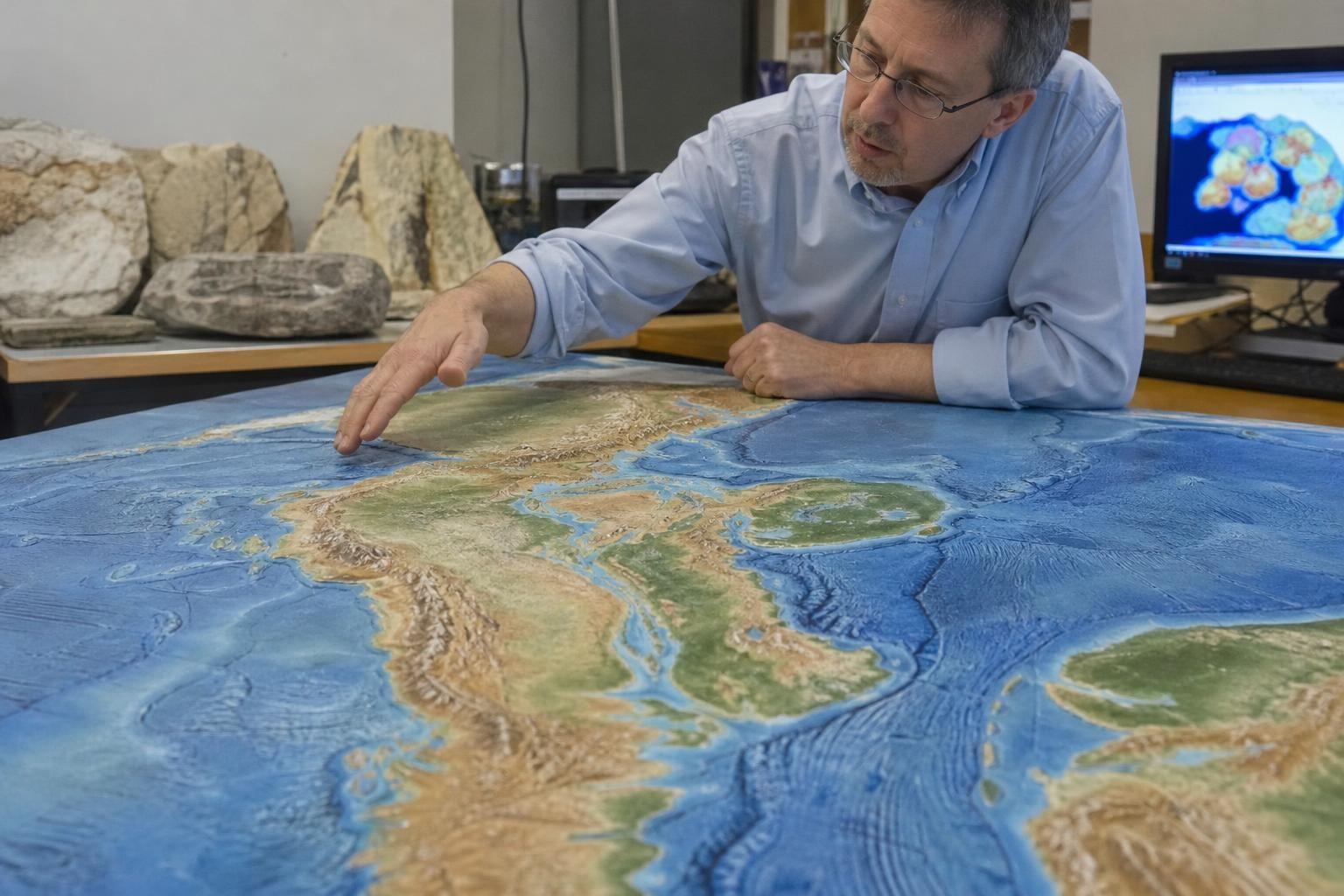
Our planet’s crust is never still, and over deep time its restless plates redraw the face of the world. Give Earth about 250 million years and the continents will again gather into a new supercontinent, closing some oceans while opening others. The natural question is simple and irresistible: where would America finally land?
What actually moves a continent?
Continents ride on thick, buoyant slabs of lithosphere that drift atop the softer mantle. At mid‑ocean ridges, hot rock rises and creates new seafloor; at subduction zones, cold slabs sink and pull plates along. Geologists call it a conveyor with push, pull, and a bit of plume power from rising hotspots.
The speeds are tiny each year yet vast over eons. A few centimeters per year becomes an ocean’s width in tens of millions of years. As one field joke goes, “plate tectonics is slow until it’s not,” because feedbacks can speed or stall whole basins.
The big-picture futures scientists debate
Earth seems to cycle through supercontinents roughly every 300 million years. Several plausible endgames are on the table, each guided by today’s plate boundaries and by how new subduction zones might ignite.
- Some models rebuild a Pangea‑like landmass often dubbed “Pangea Ultima,” where the Atlantic eventually closes and the continents cluster in low latitudes.
- Others favor “Amasia,” a northern merger as plates crowd around the Arctic, keeping the Atlantic partly open.
- “Novopangea” imagines the Pacific closing instead, slamming the Americas into Asia as the Atlantic keeps widening.
- “Aurica” posits a grand reshuffle, with new rifts and subduction zones rewriting both Atlantic and Pacific stories.
None is guaranteed, but all are physically consistent with known plate physics. As one researcher put it, “the future map is a set of rhymes, not a single script.”
So where does America go?
Depending on which path the plates take, the answers diverge in dramatic but coherent ways:
- Pangea Ultima: The North American east coast collides with Africa and Europe as the Atlantic reverses; South America swings back into Africa, knitting a hot equatorial super‑interior. Major mountain belts rise where the coasts meet.
- Amasia: North America drifts north, kissing Siberia across a narrowed Arctic; the United States and Canada end up adjacent to Eurasia at high latitudes. South America follows the arc toward the north, suturing along the same front.
- Novopangea: The Pacific finally closes; the American west coast bulldozes into East Asia and perhaps Australia, while the Atlantic remains the world’s dominant ocean. Think Andes‑style collisions writ large along the former Pacific rim.
- Aurica: Complex rifting and subduction shuffle the deck; fragments of the Americas join a reorganized equatorial supercontinent while new oceans bloom in unexpected places.
Mountains, climate, and seas of the far future
Wherever the plates meet, expect new orogenies—long mountain belts built by collision. Imagine Appalachians‑reborn along the current Atlantic margins, or Himalaya‑scale ranges where the Pacific rim closes. These highs would redirect winds, rivers, and long‑term erosion.
Supercontinents tend to breed harsh interiors. With vast land far from coasts, summers can turn extremely hot and dry, winters swing cold, and rainfall struggles to penetrate. Several climate models warn that a tightly clustered future landmass could push interior temperatures and humidity to dangerous extremes, especially under a brighter far‑future Sun. “Big continents make big deserts,” as climatologists like to quip.
Sea level would also shift. Fast ridges mean puffed‑up seafloor and higher global seas; slower spreading and cooler oceans mean lower levels. Local coasts lift or sink with crustal loading, volcanism, and the flex of nearby mountains. What looks like a simple shoreline on a map is really a moving target through time.
Clues we can already see
Today’s margins whisper tomorrow’s fates. Along the Pacific, dense oceanic plates dive beneath the Americas, powering quakes and arcs from Alaska to Chile—a setup that favors a Novopangea‑style closure. In the Caribbean and Scotia regions, small plates hint at how new subduction may propagate.
Meanwhile, the Atlantic is mostly passive‑edged, but that calm can be misleading. Subduction can nucleate on weakened edges, perhaps where old fracture zones meet transform faults. Hotspots like Iceland and the Azores mark mantle anomalies that could refocus future rifts. On North America’s west, the San Andreas and the opening Gulf of California show how coastlines shear and split before grander reorganizations.
Maps are promises, not prophecies
Projecting 250 million years is like forecasting a storm a season ahead: we get patterns, not precise isobars. The core message, though, is sturdy. Continents are “rafts on a moving sea,” and the rafts will reunite. Whether America hugs Africa, locks arms with Siberia, or shoulder‑checks Asia, the ride is already underway at a few centimeters per year.
That scale is humbling and oddly comforting. Civilizations rise, languages evolve, ice ages come and go, yet the plates keep their patient pace. If a future cartographer could unroll that distant atlas, they’d find familiar crust in an unfamiliar neighborhood—the same rocks, new addresses, and a story still being written beneath our feet.
