
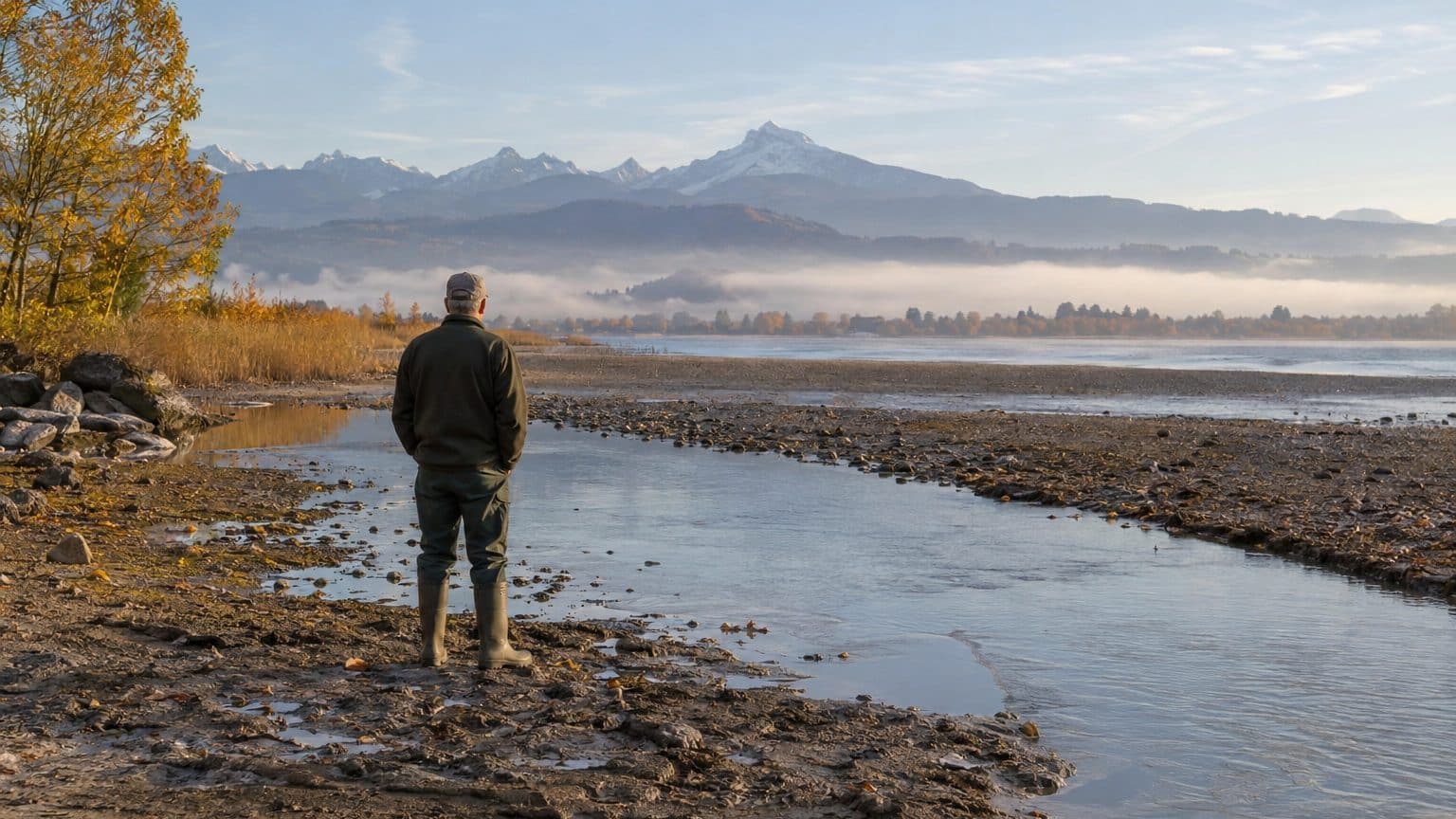
Between 1868 and 1891, the Swiss lowered the water levels of Lake Morat, Lake Neuchâtel, and Lake Biel/Bienne by about 2.7 meters. To accomplish this, they diverted the Aar toward Lake Biel and excavated dozens of kilometers of canals. As the water receded, they also uncovered remnants of prehistoric dwellings that local residents collected, sold, and sometimes imitated.
The Seeland could stand it no longer.
Prior to 1868, the Aar did not feed Lake Biel/Bienne: it split into several branches starting from Aarberg. The sediments and objects carried by the current could form obstructions and trigger upstream flooding. In this plain tucked between the three lakes, floods, malaria, and rural exodus dictated life, centered around a Grand Marais spanning nearly 100 square kilometers.
- Between 1868 and 1891, the water levels of Lake Morat, Lake Neuchâtel, and Lake Biel/Bienne fell by about 2.7 meters.
- The Hagneck Canal reaches 34 meters in depth along a trench of 900 meters.
- The Grand Marais’ ground has dropped by about 2.5 meters since the first correction.
- A second correction, from 1962 to 1973, cost 152 million francs.
A 15-Million-Franc Project
The 1867 federal decree unlocked an initial credit of 5 million francs, part of an estimated total cost of 15 million. Construction began in August 1868. The first corrective phase lasted until 1891 and established a network of canals connected to one another. The Nidau-Büren Canal, 12 km long, drains water from Lake Biel, while the Thielle Canal (8.5 km) links Lake Neuchâtel to Lake Biel. The Broye also underwent correction.
The standout achievement was the Hagneck Canal, which channels the Aar into Lake Biel. It measures 8 km in length, but its trench is remarkable: 900 meters long and 34 meters deep, equivalent to the height of a ten-story building. Nearly one million cubic meters of molasse were excavated, enough to fill about 400 Olympic-size pools.
The project also had a technical dimension. Steam-powered machines (excavators, cranes, wheelbarrows) only appeared in Swiss water-correction works with these efforts. Shovels and wheelbarrows did not disappear for good.
Result: 2.7 meters less water in the three lakes.
The Lacustrine Fever
As the water receded, bare banks appeared, and vestiges of prehistoric dwellings came to light. The correction opened up the pile-dwelling sites in the Three-Lakes region, leading to numerous archaeological discoveries. Entire villages, the exact number not documented in the sources consulted, resurfaced after centuries beneath the water.
Farmers and fishermen rushed to the sites. The canton of Neuchâtel speaks of a “lacustrine fever”: people rummaged through the mud in search of bone and deer-antler objects. Finds were sold at the markets of La Neuveville and Le Landeron, then entered into an international trade. This commerce attracted forgers, and counterfeits circulated in turn.
The farmer who plowed a rain-softened field the day before found treasure beneath his hoe. For a fisherman whose nets yielded less than in previous years, a bone tool or a piece of jewelry could provide a much-needed extra income. Stalls thus changed their wares, at least for a digging season, and many objects left the region without any record being kept.
The Ground That Sinks
The correction had the opposite effect on the Grand Marais. The peat soil became Switzerland’s largest market garden, yet it dropped by about 2.5 meters since the initial correction, roughly the height of an apartment ceiling. The peat, being very loose, no longer absorbed water and tended to settle. A Zurich study cited recently mentions subsidence of about one to two centimeters per year.
Floods returned in 1944, in 1948, and again in the 1950s.
A second correction, carried out from 1962 to 1973, became necessary. It deepened and widened the Broye, Thielle, and Nidau-Büren canals, as well as the Aar’s course between Büren and Flumenthal. The maximum water level of the three lakes was lowered by roughly an additional meter, and the amplitude of their fluctuations was reduced. The bill reached 152 million francs, more than ten times that of the first.
A Sand Strip Turned Into a Reserve
Not all was for nothing. On the southern shore of Lake Neuchâtel, the drop in level freed a strip of sand, now transformed into a 3,000-hectare nature reserve with 40 km of coastline. This amounts to nearly a third of the area of Paris proper, safeguarded for wildlife and walkers by a project initially devised for agriculture. The canton of Vaud continues to monitor the erosion of this shore in a dedicated assessment of the effort to combat it.
The project, in fact, was never truly finished. Navigation required higher low-water levels, and as early as 1891 further works were already anticipated.
Sources: imagesdupatrimoine.ch | hls-dhs-dss.ch | fr.wikipedia.org
