
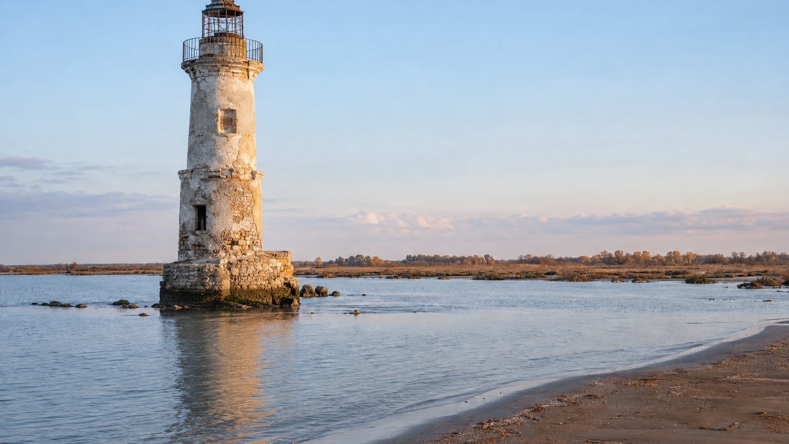
The Camargue is considered a delta that stretches outward, fed by the alluvium the Rhône has laid down for centuries. In Faraman, in the commune of Arles, the sea did the opposite: it destroyed a lighthouse standing 36.50 meters tall. The State had to rebuild another one in 1892, 1,200 meters behind the old site.
- The Faraman lighthouse, 36.50 m tall, was destroyed by the sea.
- The land beneath the tower shrank from 675 m to 190 m between 1835 and 1864.
- The State rebuilt the lighthouse in 1892, 1,200 m behind the former.
A Wooden Beacon, Then a Tower on a Sand Spit
On November 1, 1830, a beacon is lit on Faraman, atop a provisional wooden tower 15 meters high. Exactly ten years later, on November 1, 1840, a light shines atop a cylindrical tower 36.50 meters tall, more than twice the height of the first. On a flat coast, such a tall structure dominates the landscape, like a twelve-storey building.
The site lies about ten kilometers from Salin-de-Giraud, near the mouth of the Old Rhône. The 1840 tower sits on a sand spit, a material the sea moves with ease. One figure accompanies the site choice: in 1835 the selected location was 675 m from the shore. It does not describe the situation at the 1840 ignition, five years later, since by 1841 it already measured 420 m.
The two lightings thus fall ten years apart, almost exactly. The provisional wooden structure did not last longer than a decade, and the construction expected to endure fared even shorter.
675 m, 420 m, 250 m, 190 m: the sea gnaws away the coast
A lighthouse needs a belt of land beneath its feet. Between 1835 and 1841 this belt shrank from 675 m to 420 m. That’s 255 m in six years, more than 40 m per year on average, equivalent to a football field swallowed every two and a half years.
From 1841 to 1854 the retreat stabilized for 13 years, a lull that is far from a guarantee. In 1860 the tower stood 250 m from the highest tides, a measure taken at the most unfavorable edge for a shoreline structure.
In April 1864 the shore was only 190 m from the tower.
When scaled to the tower’s height, these distances gain significance. In 1835 the chosen location lay about 18 tower-heights from the shore; in 1860 it was just under 7, and in 1864 a little over 5. In total, 485 m disappeared in 29 years, nearly five football fields lined up, including 60 m between 1860 and 1864, about fifteen meters per year.
A reconstruction project was already being studied at that time. In January 1873 the semaphore built right in front of the tower was abandoned because it was immersed in water. A station designed to monitor the sea ends up with its feet in the water, and the tower behind it has little land to offer. Yet the contract to build the new tower was only awarded on May 13, 1889, roughly 25 years after the 190 m mark in 1864.
1892: A New Tower, 1,200 m Inland
Between the awarding of the contract and the lighting, less than three years pass. On April 3, 1892, a beacon is lit on the new tower, 1,200 m behind the old lighthouse, destroyed by the sea. From the initial project to this lighting, about 28 years elapsed.
The retreat measured is more than six times the 1864 distance.
On foot, these 1,200 m represent about a fifteen-minute walk, or 11 football fields laid end to end. The 1840 tower illuminated the coast for at most 52 years, since it was destroyed by the sea before 1892. The exact date of its collapse is not established. According to local historians, some of its stones were reused.
A 43.30 m Tower, Ruins 150 m Offshore
The current tower measures 43.30 m, i.e., 46.50 m above sea level, thus 6.80 m taller than the 1840 one. It was built away from the sand spit where its predecessor rested, with the height equivalent to more than 14 floors. Lit in 1892, it has now completed more than 130 years of service.
The tower was electrified in 1972, then automated in 1999. The last keeper left in 2004, five years later.
On June 21, 2012, the tower was listed as a historic monument.
Faraman does not contradict the image of a delta shaped by centuries of alluvium. The retreat documented here concerns a precise point along the coastline, measured from 1835 to 1864.
A photograph by Carle Naudot, dated April 8, 1917 and kept at the Camargue Museum, shows the ruins of the old lighthouse 150 m offshore. The land where the 1840 tower stood has therefore submerged, 77 years after its ignition. The image records the state of the ruins 25 years after reconstruction, but it does not date the collapse of the tower.
👉 A small gesture for Space Group? Follow us on Google, add us to your bookmarks, and find us on Google News so you won’t miss any discoveries.
Sources: sacha-unjourunephoto.blogspot.com | franceinfo.fr
