
The Bay’s calm water hides a violent story. Beneath the tides and blue shallows, a colossal wound sits in the crust, its rim smeared with ancient shatter. An extraterrestrial strike in deep time reorganized the coastal plain, and the imprint still seeps into daily life. As one researcher put it, “The past keeps flowing into the present,” drop by drop, grain by grain.
The crater is vast, about 85 kilometers across, tucked under the southern reach of Virginia’s estuary. It is not a tidy circle but a broken amphitheater stuffed with fractured rock, ejecta, and chaotic rubble called megabreccia. That rugged fill acts like a sponge and a barricade, guiding and trapping water where it otherwise would have simply moved on.
A buried scar beneath the Bay
The impact happened during the late Eocene, roughly 35 million years ago. A speeding bolide slammed into a shallow sea, vaporized water, and lofted a towering plume of hot debris. Shockwaves carved a transient cavity, which collapsed into a complex basin, its edges faulted and its center brutally smashed. Tsunami-scale waves swept the coastal margin, leaving sandy swirls and chaotic beds.
What we know today comes from seismic imaging and deep cores drilled through the coastal plain. Geologists mapped a circular depression, then pulled up shards of impact glass, shocked minerals, and jumbled sediment. “It’s a perfect detective story,” said one field scientist. “Every core is a new chapter.”
How the impact reshaped the aquifers
Before the strike, regional aquifers layered like a tiered cake, with freshwater gently flowing toward the sea. The blow mangled those layers, splintering rock and bending strata into a bowl that redirects and isolates fluids. Faults became baffles, the megabreccia a messy filter, and the crater rim a leaky wall.
In that sealed geometry, dense saline water could pond, hide, and persist for geologic ages. Fresh recharge from rain and rivers skirts the crater’s edges, but inside, brine lingers in deep, quiet pockets. The result is a hydrogeologic mosaic: sweet and salty, ancient and modern, side by side.
The stubborn salt below
The deep pocketed water is notably salty, often far saltier than local estuaries. Locked beneath layers of clay and sand, it still finds pathways upward along fractures and old faults. Heavy pumping can tug that dense brine toward wells, a slow “upconing” that turns tap water brackish.
Utilities and homeowners across the Tidewater region have learned to watch chloride readings and well logs with patient eyes. Salinity spikes don’t always come with storms; sometimes they rise from quiet depths, summoned by demand and subtle gradients. “Groundwater remembers,” hydrogeologists like to say. “It remembers pressure, pathways, and very old seawater.”
- Who feels it? Municipal water systems, rural well owners, industrial users, coastal managers, and the ecosystems that depend on steady freshness
How scientists read the salt
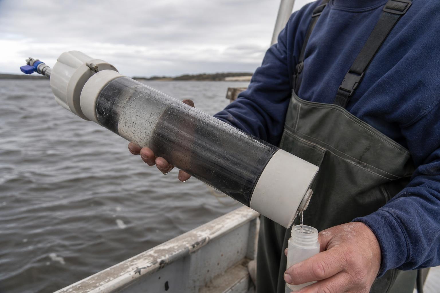
To trace this hidden reservoir, teams sample deep wells, log conductivity, and profile chloride. Isotopic fingerprints—oxygen, hydrogen, and strontium—help separate modern seawater from truly ancient brine. Noble gases and dissolved gases add age clues, showing water that last saw the surface before humans walked the coast.
Seismic reflection lights up the subsurface architecture, revealing the crater rim, central uplift, and infill chaos that steers flow. Core samples deliver microfossils and shocked grains, tying chemistry to the impact’s physical record. “It’s a time capsule,” one scientist said, “and it still leaks a little story into every test tube.”
From geology to daily life
Salty groundwater corrodes pipes, stresses water treatment, and limits where new wells can be safely placed. Engineers map the saline front and adjust pumping schedules, spacing wells to soften the upward pull of dense brine. Filtration and reverse osmosis can help, but they add cost and concentrate waste brine that must be handled with care.
Meanwhile, sea-level rise presses the coastal aquifers from above, and land subsidence lowers the ground, together squeezing the freshwater lens. The crater’s broken framework complicates predictions, so managers lean on adaptive monitoring and cautious, data-driven moves. Smart strategy means treating old water as a living variable, not a fixed backdrop.
Living with a deep-time legacy
This is a landscape where catastrophe became infrastructure. A single day of cosmic impact reshaped millions of days of human planning, from well siting to municipal budgets. The better we map the buried topography, the more precisely we can harvest freshness without dragging up ancient salt.
Future efforts may blend managed aquifer recharge, targeted desalination, and carefully tuned withdrawals. Local science, local data, and local stakeholders will keep the needles in safe ranges. The scar won’t heal, but its influence can be guided—proof that even the oldest shock can meet modern craft.
Beneath the waves, the crater rests in patient silence. Above it, communities work with that deep memory, learning to share a coast where the geology still writes the rules—quietly, persistently, drop by drop.