
A canal stretching 229 kilometers, 24 locks, and an elevation gain of more than 150 meters to overcome: this is what the French state spent decades drafting on paper before discarding it in a single decision on October 30, 1997. Between Laperrière-sur-Saône in Côte-d’Or and Niffer in Haut-Rhin, land was purchased parcel by parcel, residents were expropriated, zones were frozen for construction for thirty years, for a project that would never come to pass. The route still exists, invisible, in cadastral documents and local memories.
Key takeaways
- Why did the State freeze hundreds of parcels for 30 years for a canal that never materialized?
- A ultramodern lock capable of handling convoys of 4,500 tonnes has been idle since 1997: the emblem of a colossal project that collapsed
- 2.3 billion euros invested in river works, including an entire section that remains a dead end
A 229-km route designed to rival the Rhine-Main-Danube Canal
The project carried the name of a public entity, the Société de réalisation de la liaison fluviale, or SORELIF, created in 1978 to carry this work. It aimed to establish a 229 km link between Laperrière-sur-Saône and Niffer/Mulhouse. The ambition was not merely regional: it sought to enable convoys of several thousand tonnes to travel from the North Sea to the Mediterranean in a matter of days, an inland water highway connecting the North Sea to the Mediterranean, capable of rivaling the Rhine-Main-Danube Canal that Germany had just put into service.
On paper, the scale of the work is dizzying. It would have required cutting through 58 kilometers of twists on the Doubs, building 24 locks, 14 pumping stations, and rebuilding around a hundred bridges for a total estimated cost of nearly 17 billion francs (2.6 billion euros) in 1993, before tax. The elevation to be overcome was far from trivial: 106 meters on the Alsatian side and 158 meters on the Franche-Comté side, with 23 reaches separated by 24 locks each 190 meters long and a maximum fall of 24 meters. The project would also pass through sensitive areas: the route ran through the Doubs valley, crossed the towns of Mulhouse, Montbéliard, Besançon and Dôle, and came within proximity of 33 listed or registered sites, 36 historical monuments, and 196 archaeological sites.
Expropriations launched as early as the late 1960s
Even before the creation of SORELIF, the State had begun securing the land. Almost all of these parcels were acquired by the Navigation authorities between 1968 and 1970, with the aim of delivering a project that would ensure continuous fluvial traffic from the Mediterranean to the Rhine basin, and the municipalities involved endured for about thirty years a freeze on land assets that could have served numerous projects of public interest. Entire villages lived with frozen, undevelopable parcels, awaiting a canal that never arrived.
The declaration of public utility dates back to June 29, 1978. It set the expiry date for the expropriations at June 30, 1988, a deadline extended to June 30, 1998 by a decree of April 28, 1988. Twist of fate or political calculation, the Jospin government chose not to wait for the natural end of the text. This DUP, signed in 1978 and renewed ten years later, would have expired on June 30, 1998; the State thus chose to strike it down eight months before its natural demise. The official repeal occurred by decree on October 30, 1997, annulling the public utility declaration relating to the development of the Saône-Rhine waterway, driven by Environment Minister Dominique Voynet.
What became of the expropriated lands?
Once the project was shelved, a very concrete problem remained: hundreds of parcels purchased over three decades, scattered along a phantom route, with no clear plan for their use. The ministerial response was clear-cut. Following the abandonment of the large-gauge Saône-Rhin waterway project, it was decided to sell off both built and unbuilt lands acquired for this purpose, by the State and by the Compagnie nationale du Rhône. The CNR was not a minor player in the affair: by the 3 January 1980 law, it had been explicitly entrusted, in addition to constructing the Saône-Rhin large-gauge link, with the operation and maintenance of the entire Rhône-Rhine waterway.
Local elected officials, for their part, clung to the bitterness of a territory put under a spell for nothing. Several written questions to the National Assembly, particularly in Doubs and Haut-Rhin, urged the rapid retrocession of these properties to the communes. The government justified its decision with an unambiguous cost-benefit assessment: the scale of direct and irreversible damage to natural heritage and, more broadly, to the living environment of the regions traversed could not be offset by the intrinsic merits of a project whose investment cost and projected operating deficit were very high.
Niffer-Mulhouse, the canal fragment that leads nowhere
Not everything, however, was razed before the abandonment. A portion of the canal was indeed completed at the eastern end of the route. The European 5,000-ton gauge was started in the late 1970s, but was implemented only in the eastern part, between Niffer, on the Rhine, and Mulhouse, as well as between Montbéliard and Étupes. The Montbéliard–Étupes section alone measures about 4 kilometers widened to the large gauge.
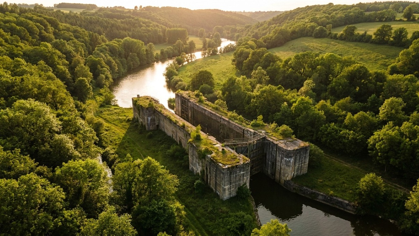
The result is an infrastructure paradox unmatched by most French projects. The section completed in 1995 is equipped with a superbly modern lock capable of handling convoys of 4,500 tonnes, but since the project was halted in 1997, this infrastructure has remained a dead end: barges have no route to continue toward Dijon or Lyon. The cost of this isolated fragment reflects the scale of the original ambition: the total expenditure for the works carried out on the 283 kilometers of navigable routes approaches 15 billion francs, equivalent to roughly 2.3 billion euros in current terms, just for the works already realized.
The case was reopened several times without ever yielding a conclusion: a feasibility study launched by Haut-Rhin in 2008, a debate revived in 2009 around an alternative route via the Moselle. Each time, the same ecological and economic arguments defeated revival efforts. Today, the canal contracts signed by Voies navigables de France for 2026-2030 deliberately steer the Rhône-Rhine canal toward leisure boating and tourism, far from the original industrial ambitions. The giant lock at Niffer continues to operate in idle, a silent guardian of a canal that exists even less in reality than on paper: it exists only in the title deeds that the State spent thirty years to buy, then thirty years to sell.
Sources: persee.fr | assemblee-nationale.fr | senat.fr
