
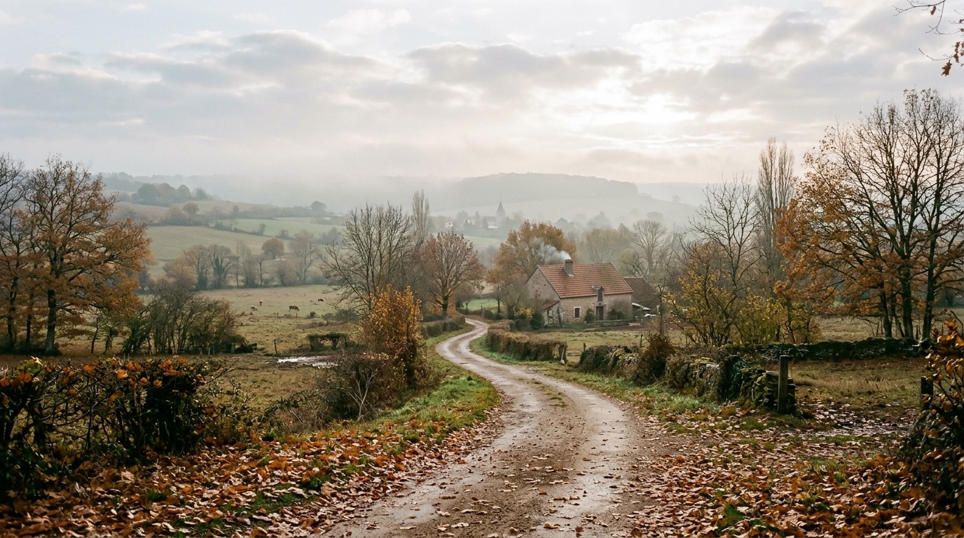
Why is there such a yearly expectation of a small respite in mild weather around November 11? This popular belief, passed down from one generation to the next, links Saint Martin’s Day to a nearly systematical improvement after the first autumn frosts. Yet, when we compare this tradition with recent meteorological records, the picture is much more nuanced. Between an extraordinary summer of 2026, a surprisingly mild early autumn, and a November forecast to unfold under a high-pressure system, it is a good moment to test what the sky is really saying, far from folk sayings.
- The “Saint Martin’s Summer” is a popular tradition, not a guaranteed meteorological phenomenon tied to a fixed date.
- Summer 2026 was the warmest on record in France since 1900, with September exceptionally hot and dry, followed by torrential rains in October, including Solenzara.
- At the start of November, a high-pressure system brings mildness and blue skies to the South, but the rest of France remains roughly 2 degrees below normal.
- A deeply rooted popular belief around November 11
- What recent weather records really reveal
- How to interpret this tradition without relying on the calendar
A deeply rooted popular belief around November 11
The expression “Saint Martin’s Summer” traditionally designates a period of mild weather and pleasant days that would occur, as if by magic, around November 11. This image of an ultimate summer reprieve before winter is part of French meteorological folklore, on par with the Saints of Ice in spring. In its analysis published on October 12, 2026, Météo Consult emphasizes a crucial nuance: it is a popular label, not a phenomenon that necessarily repeats every year on a fixed date. In other words, the old calendar fixes a symbolic date, but the atmosphere has never signed that contract. This distinction matters to avoid shaping weather expectations around a tradition that leans more on ancient empirical observation than on a verified climatic law.
What recent weather records really reveal
The figures for this year perfectly illustrate the gap between tradition and reality. Summer was the hottest measured in France since 1900, with an average temperature of 24.0°C, i.e., 3.6°C above the 1991-2020 normal. The season recorded 53 heat days spread across three heat waves, a record far exceeding the 33 days of summer 2022. September followed as the second warmest September and the third driest since 1958, showing an anomaly of 3.1°C and a rainfall deficit of 70%. The first half of October continued this trend, with an anomaly of 2.2°C and an average of 17.11°C, the fourth warmest half-month on record.
On October 15, the thermometer even climbed to 32.2°C in Navarrenx and 30.6°C in Pau, heat levels entirely unusual for this time of year. Then October swung to heavy rains, including an exceptional Mediterranean episode in Solenzara, Corsica, where more than 600 millimeters fell in 24 hours. This downpour allowed a start to the drought’s relief, without erasing it entirely. These brutal swings between extreme heat and torrential rainfall show that the current climate no longer follows regular and predictable patterns, making the idea of a warm spell anchored to a fixed date even more precarious.
How to interpret this tradition without relying on the calendar
For the end of the year, Météo-France favors a scenario warmer than normal for the October-November-December quarter, with an estimated 70% probability that the period November 2026-January 2027 will also be warmer than normal, according to the bulletin published on October 29. The same bulletin also mentions a quarter wetter than normal across the country, except for regions near the Mediterranean where no clear scenario stands out. concretely, the early days of November settled under a high-pressure system guaranteeing dry weather almost everywhere, with a blue sky in the South and surprisingly mild temperatures, such as 19°C recorded in Nice on November 2.
But beware, this improvement is accompanied by a week that is overall about 2 degrees below normal elsewhere in France, under the influence of an east-to-northeast flow. This is exactly the kind of situation that can make one believe in a “Saint Martin’s Summer” when it is simply a classic seasonal anticyclonic setup. The prudent approach is to look at short-term forecasts rather than trusting a proverb, no matter how poetic it is. Avoid the common mistake of stowing away warm clothes too early on the pretext that a mild interlude is forecast around November 11, because temperature swings can be rapid and localized. It is better to check weather bulletins regularly and adjust outings, hikes, or outdoor activities according to real trends, not a date carved into a popular calendar.
In the end, Saint Martin’s Summer remains a beautiful image, inherited from old observations, but it should never replace careful reading of the current weather data. This year again, the data show atmospheric dynamics marked by extremes, between record heat and persistent drought, then an autumn that alternates between mild days and cooler spells depending on the region. Keeping an eye on Météo-France bulletins remains the most reliable habit to anticipate the true periods of mild weather, wherever they fall in the calendar.