
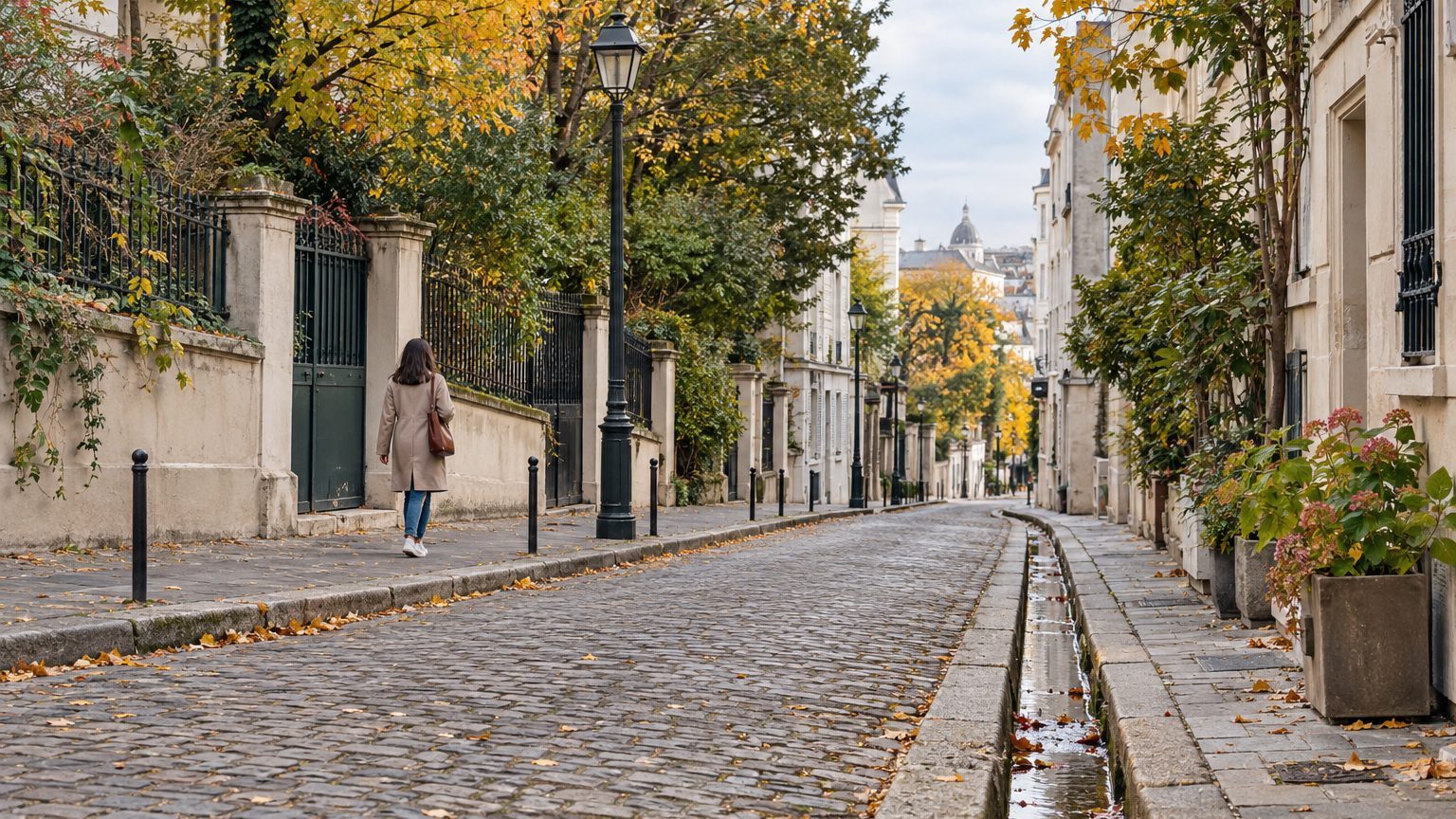
Under the paving stones surrounding the Rue de Bièvre and the Gobelins district, a river still flows. It measures 34.6 km, rises in Guyancourt, in the Yvelines, and runs through the southern suburbs before reaching Paris. Yet it no longer empties into the Seine: its waters end their course in Paris’s main sewer collector.
In Paris, no one has seen it flow since 1912.
- The Bièvre stretches 34.6 km and originates in Guyancourt, in the Yvelines.
- Its last Parisian sections were covered in 1912.
- Since 2022, 600 m of the river have resurfaced in Arcueil and Gentilly.
From Guyancourt to Austerlitz: a diverted watercourse
The source springs forth at Guyancourt, at an altitude of 150 meters, in the hamlet of Les Bouviers. For centuries, the river ended its journey in the Seine, near the present-day Gare d’Austerlitz, after roughly 35 kilometers of travel. It was Paris’s second river and ran through the 13th and 5th arrondissements.
It has not always been a single thread. In the XIIth century, it split into two branches, one “live,” the other “dead.” From 1840 onward, these branches were progressively covered in Paris. Then came the sewers: in 1880, the “dead” Bièvre was admitted into the Bièvre collector, also known as the Rond Sewage, and in 1886 the “live” Bièvre was directed toward the Colonie collector gallery, the future Pascal collector.
The last reaches still exposed to air in intra-muros Paris—Croulebarbe, Glacière, and Valence—were covered in 1912, under the streets bearing those names. From that date, the river was entirely covered in the capital, and most of the removed reaches were filled in.
In the suburbs, the same fate arrived more slowly. From Antony to Gentilly, the river has been covered since the mid-1950s, except for short sections reopened in the 21st century. Its waters are today integrated into the sanitation network and directed toward treatment plants, then toward the Main sewer collector of Paris.
Tanneries and dyers: the river paid the price
Along the Gobelins, the Bièvre long served as a working river. Tanneries and dyers drew water from it and discharged their residues, gradually turning it into an open-air sewer.
Even the cold found a use there: in the Glacière district, the river’s frozen water was stored to be used in summer. By 1730, washing clothes in the Bièvre was prohibited, a sign that its waters were already deteriorating. Its floods, too, could be devastating.
The unsanitary condition eventually condemned the river’s course. As early as 1860, Haussmann and Belgrand judged that the only solution was to remove the river from the open air. The work dragged on: by 1902, there remained 540 meters visible between Croulebarbe Street and Arago Boulevard. Industrial exploitation continued in Paris until the river’s covering in 1912, and in the nearby suburbs until the 1930s.
Fresnes, Arcueil, Gentilly: a few meters brought to the surface
First stretch reopened: 140 meters in Fresnes, in 2003.
140 meters is a bit more than a soccer field. Modest, perhaps, but the gesture mattered: it showed that a river buried under concrete could regain the light. The residents had waited for this signal for a long time.
Patience proved essential. In the 1980s, several local collectives in Val-de-Marne mobilized to free the Bièvre from concrete. The idea of reopening gradually spread through the communities. Between the Fresnes project and the next, 19 years would pass.
In 2022, 600 meters resurfaced in Arcueil and Gentilly.
Since March 14, 2022, the river has flowed between the Pont de l’Avenue Paul Doumer in Arcueil and Rue Gandillon in Gentilly. A new promenade accompanies its course.
The route is straightforward for those who want to witness it firsthand. The Parc du Côteau de Bièvre, in Arcueil and Gentilly, hosts the reopened river and its promenade, and Fresnes preserves its 140-meter stretch. In Paris, there is nothing to see: the river merges with a sewer collector. Yet the streets Croulebarbe, la Glacière, and Valence still trace its former path.
These two segments total 740 meters, a little over 2% of the 34.6 km. In 2001, a study by APUR evaluated the prospects of reawakening the river in Paris. It envisioned letting 2,300 meters flow openly again in three areas: Kellermann Park, René-Le-Gall Square, and the surroundings of the National Museum of Natural History.
To reopen the Bièvre in the capital would require drilling through meters of earth or rubble, beneath which it would merge with a collector. An administrative consequence follows: by joining the sanitation network, the river had lost its status as a watercourse, a status it regained in 2007.
Sources: franceinfo.fr | prolog-ingenierie.com
