
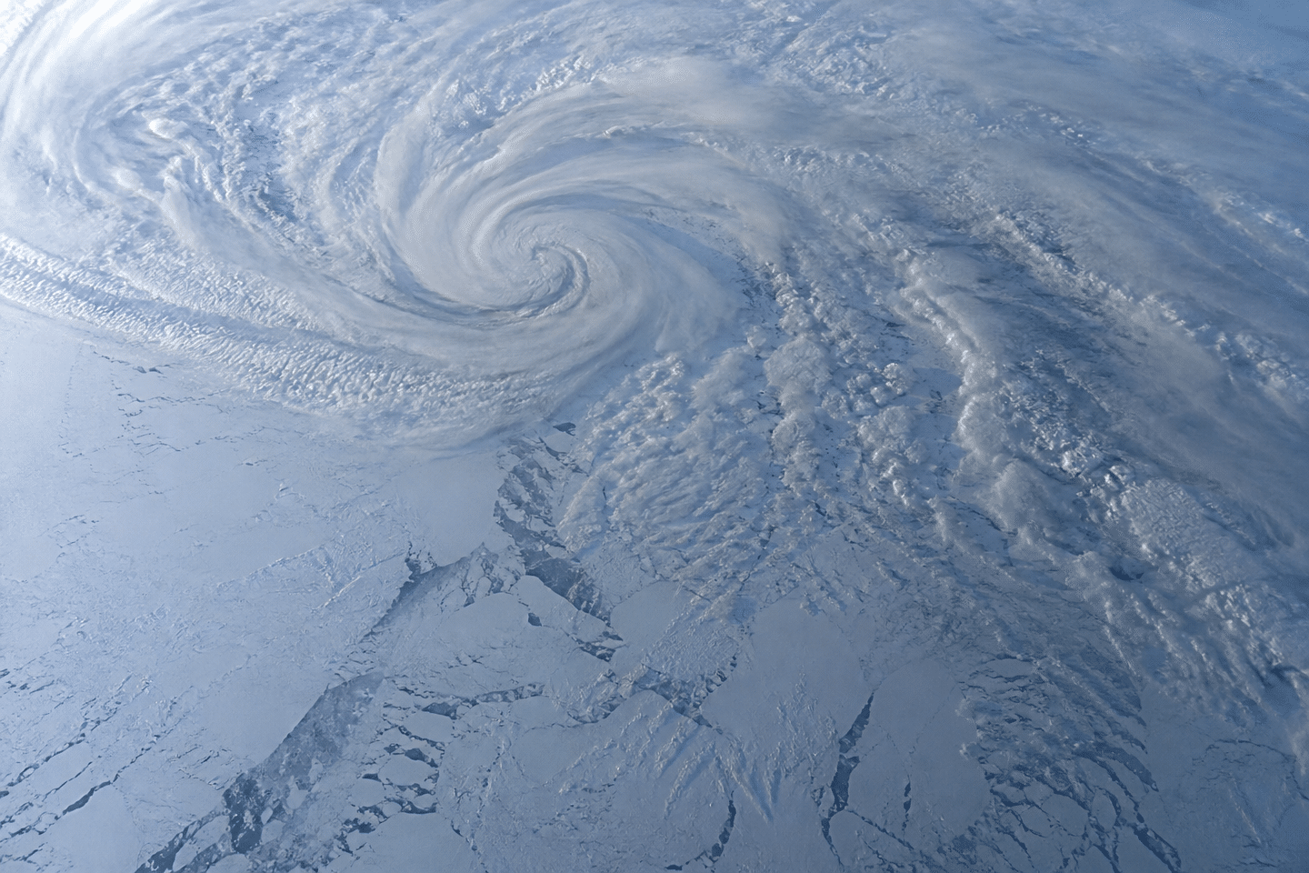
The polar vortex is wobbling earlier than ever. Meteorologists said on Friday that they observed an unprecedented early disruption of the polar vortex, increasing the risk of cold waves across the Northern Hemisphere, even though substantial uncertainty remains. A comparable episode had only occurred three times since the 1950s, and never so early in the season.
- The polar vortex shows an early and unprecedented disruption, a phenomenon observed only three times since the 1950s (1958, 1968, 2025), always in late November, whereas in 2026 it occurs in early November
- Causes remain debated among climate scientists, some pointing to El Niño, others to a record-high pressure over Scandinavia, with no established scientific consensus
- A weakened vortex increases the risk of cold waves in Europe, North America, and Asia, but the severity remains uncertain because the Arctic is not yet cold enough and El Niño could soften the winter
- A phenomenon seen three times in seventy years, and never so early
- El Niño or Scandinavian high pressure, the mystery that divides climate scientists
- Arctic cold on the horizon: why its impact on winter remains an uncertain bet
A phenomenon seen three times in seventy years, and never this early
To understand what worries experts, one must first know what the polar vortex is. Picture a swirl of freezing air, a low-pressure system, rotating from west to east over the Arctic. It acts as a lid, keeping the frigid air confined to the pole.
This lid typically strengthens in autumn, peaks in January, then gradually weakens through March. It is this natural schedule that has just been disrupted. In early November 2026, the phenomenon appeared weeks ahead of its usual timing.
The mechanism at play bears a technical name: sudden stratospheric warming, or SSW. Rossby waves, massive atmospheric undulations born in the troposphere, surge into the polar stratosphere. They literally disturb the swirl, to the point of reversing wind direction and fragmenting the vortex.
Yet such warming in November is extraordinarily rare. Since the 1950s, only three occurrences have been recorded: in 1958, 1968, and 2025. In all three cases, the event started on November 28. The 2026 episode thus sets a record for precocity, leading Météo-France to call it unprecedented.
The polar vortex dashboard polarvortex.earth, which relies on the European Centre for Medium-Range Weather Forecasts (ECMWF) models, goes further. It predicts a complete collapse of the vortex by November 20, with winds tipping entirely to the east, signaling a total break from the usual dynamics.
El Niño or Scandinavian high pressure, the mystery dividing climate scientists
One question remains that gnaws at the scientific community: what could have triggered such an early intensification? Several hypotheses circulate, and they do not converge on a single explanation.
Grahame Madge of the British Met Office points to the powerful El Niño event currently active in the Pacific. According to him, the warming of surface waters could amplify the atmospheric waves responsible for perturbing the vortex, much like a current that swells an already existing wave.
Climate scientist Judah Cohen of MIT offers a different, and in his view more likely, explanation: a record-strength high-pressure system established over Scandinavia and the northwest of Russia. Ironically, such a pattern is usually associated with La Niña years, i.e., a climate setup opposite to the one currently observed.
From ECMWF’s side, caution is warranted. Tim Stockdale and Frederic Vitart acknowledge they do not know the exact cause of the phenomenon, even as they concede that El Niño likely played a role. This scientific ambiguity vividly illustrates the complexity of interactions among the ocean, atmosphere, and stratosphere—systems that influence one another without always readily revealing their secrets.
Arctic cold on the horizon: why its impact on winter remains an uncertain bet
A weakened or fragmented polar vortex is never good news for temperate regions. When this lid of cold air fractures, polar air masses can escape southward and plunge across Europe, North America, and Asia—the most densely populated areas of the Northern Hemisphere.
That is precisely the heightened risk of cold spells that worries meteorologists as winter approaches. But beware: an early SSW does not automatically guarantee a severe cold snap. The outcome depends on the state of the Arctic at the moment of rupture.
Indeed, at the start of the season, the Arctic and Siberia are not yet as cold as they will be at the height of winter. The reservoir of air that could spill southward is therefore less abundant for now. The resulting cold waves might be milder than those associated with later SSW events in the season.
Another factor to watch is the El Niño episode mentioned above. It is usually linked to milder winters on a global scale, which could partially offset the impact of the weakened vortex. Two opposing forces are at play, and no one can say today which will prevail.
This unprecedented situation places scientists in a delicate position: observing a rare phenomenon while being unable to predict its exact consequences. We will have to monitor, in the coming weeks, how this capricious vortex evolves, for it is indeed a key to the winter that lies ahead.