
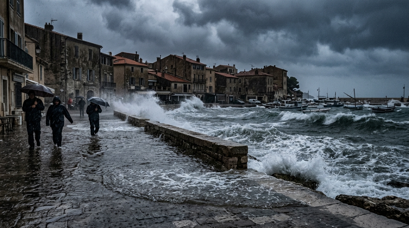
Severe rains: the Hérault and the Gard have just endured a Mediterranean episode of exceptional violence. The rainfall totals measured in a matter of hours far exceed seasonal norms, and the question returns with insistence: will these events become more frequent, more intense, or even extend over a longer period of the year? Between scientific data and on-the-ground observations, here is what to take away to understand this phenomenon and prepare concretely.
- In Saint-Hippolyte-du-Fort, 337.6 mm fell in a single day, the equivalent of 61 days of rainfall typical for the Gard and the Hérault
- The risky period remains concentrated between September and December, when cold air aloft meets the warm and humid air of the Mediterranean
- Mediterranean rainfall has increased by about 11% in intensity since 1961 and episodes exceeding 200 mm in 24 hours have risen by 50%, without the calendar shifting
- An exceptional Mediterranean episode in late September in the Hérault and the Gard
- How these episodes form and why their season remains concentrated between September and December
- Will climate warming shift or intensify these episodes in the coming decades?
An exceptional Mediterranean episode in late September in the Hérault and the Gard
Météo-France placed the Hérault and the Gard under red alert for rain and flooding. The figures are dizzying. In Saint-Hippolyte-du-Fort, in the Gard, rain gauges recorded 337.6 mm in a single day, the equivalent of 61 days of rainfall usual for the Gard and the Hérault. In Colognac, still in the Gard, 299 mm fell, i.e. 54 days of normal precipitation concentrated in just a few hours. In the Hérault, Prades-le-Lez endured 264.9 mm within 24 hours, the equivalent of 71 days of rain. Across Languedoc as a whole, up to 400 mm fell in less than a day in some places. These episodes, long called “cévenols,” translate into impressive amounts of water poured onto a restricted area in a very short time. The reason: convective storm systems that remain blocked by the relief and stagnate above the same sector. The result is that consequences vary greatly depending on the local topography, a narrow valley can experience flash floods while a nearby, more open area just a few kilometers away might escape almost unscathed.
How these episodes form and why their season remains concentrated between September and December
To understand why these rains strike mainly in autumn, one must look to the atmosphere. According to Cécile Caillaud of the Centre national de recherches météorologiques, these episodes require a precise combination of factors: cold air aloft, guided by the jet stream, dipping southward, and warm, humid air rising close to the surface drawn from a Mediterranean Sea still warm after summer. The jet stream, the current that separates polar air masses from milder ones, acts here as a trigger. When it sinks toward the south, it drags down cold air that collides with the warm and humid air rising from the Mediterranean. This explosive encounter creates thunderstorm systems that can remain stalled for hours in the same place, due to the Cévennes relief or the foothills of the Massif Central. This mechanism explains why the risk period runs from September to December, and not beyond. Historical catastrophes confirm it: Nîmes in 1988, Vaison-la-Romaine in 1992, the Roya valley in 2020 — all of these disasters occurred within this autumn window. Early studies on the subject suggest that this seasonality should stay stable in the decades to come, despite climate warming. Sensitive period to remember: September to December, with such episodes especially in the Cévennes, the Gulf of Lions, and the southern Massif Central.
Will climate warming shift or intensify these episodes in the coming decades?
That is the question that unsettles specialists. On intensity, the figures from Météo-France are unequivocal: Mediterranean rainfall has gained approximately 11% in intensity between 1961 and 2025, and episodes exceeding 200 mm in 24 hours have risen by 50% over the same period. The cause is known: the Mediterranean Sea is warming. At the beginning of October, its surface temperature still reached 26–27°C between the Côte d’Azur and Corsica, after the hottest summer ever recorded in France. This unusual warmth promotes greater evaporation, loading the atmosphere with moisture and intensifying precipitation when the atmospheric conditions align. The Spanish weather agency Aemet even announced a autumn-to-winter period (September–November) that is rainier than normal across the entire Mediterranean basin, with an increased risk of torrential rainfall. But beware of mixing up, as intensity and timing are two separate matters. As Davide Faranda explains, “a warmer Mediterranean Sea can raise the intensity of precipitation when the atmospheric conditions are right, but that does not mean the episodes will gradually shift toward January or February.” He notes that these phenomena tend to be more frequent and intense in autumn, when the sea remains exceedingly warm after summer. Yet an episode of the Mediterranean type already occurred in mid-winter, in January 2026, which shows that an extension of the risk period remains possible, even if not yet a confirmed trend by researchers.
What matters to remember is that the risk window does not move much, but the episodes that occur within it can strike with greater force, illustrating the intensification of extreme phenomena.
