
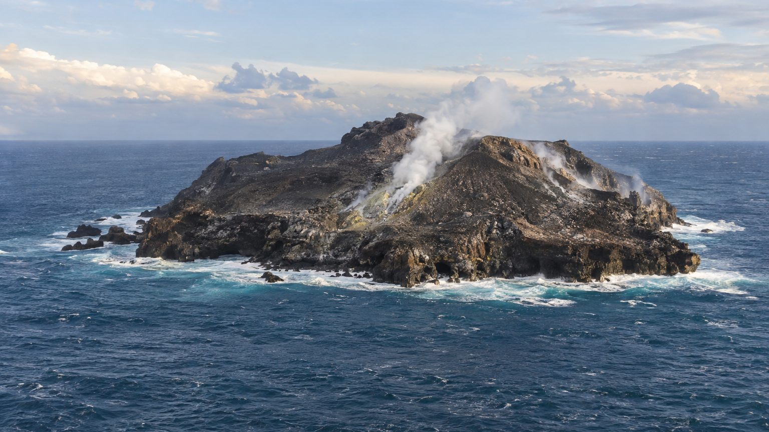
Less than six months in existence. In July 1831, an undersea eruption gives birth to an island in the Sicily Channel, on Graham Bank. Britons, Neapolitans, and the French immediately dispute ownership, and Spain is said to have also signaled its ambitions.
On September 29, 1831, a French geologist plants the tricolor there.
- A volcanic island rose from the Sicily Channel in July 1831 following an undersea eruption.
- France, Great Britain, and the Kingdom of Naples successively planted their flags to claim the territory.
- The island disappeared completely in January 1832, overwhelmed by marine erosion and winter storms.
An island that rises from the sea like a champagne cork
The early warning signs resemble those of many eruptions: tremors, followed by a sulfurous odour spreading along the Sicilian coast. On 18 July 1831, Commander Swinburne, aboard the British ship Rapid, spots a column of smoke that darkens gradually, pierced by bursts of flame. A few weeks later, what remains of this plume is a heap of emerging rocks. It is no paradise, but it sits in a spot coveted by all.
The Royal Navy sees, indeed, an ideal base to monitor Mediterranean traffic, especially since the site lies closer to the European mainland than Malta, a Crown colony. A smoking little rock thus becomes a matter of naval geopolitics.
Observers, meanwhile, seek images. Constant Prévost, cofounder of the French Geological Society, compared the eruption to opening a bottle of champagne.
Three flags, four claimants
The British move first. On 2 August, Captain Humphrey Senhouse lands, plants the Union Jack, and names the land Graham Island after Sir James Graham, the First Lord of the Admiralty.
The Kingdom of Naples responds by sending the corvette Etna. Ferdinand II, King of the Two Sicilies, also understands the strategic interest of the site, and the island becomes Ferdinandea for him. Nobles of the Bourbon house are even said to have contemplated turning it into a seaside resort, on beaches that had existed only for a few weeks.
Spain is said to have also voiced territorial ambitions, but this claim is the least documented of the four.
France, arriving last, is the remaining player. Prévost, accompanied by an artist, steps onto the island on 29 September 1831, give or take 195 years, and hoists the tricolor. He names it Julia, because it was born in July, and perhaps as a nod to the July Monarchy then ruling France. His stated aim, he wrote, was to show that France would not miss the chance to engage with scientific questions. The geologist thus planted a flag in the name of science, even if the gesture carried diplomatic significance as well.
Diplomatic exchanges ensue, with no power prevailing.
Disappeared in January 1832, still claimed
The dispute sinks, quite literally. The island is made of tephra, fragmented and mobile volcanic materials that do not withstand the waves. The naturalist Hoffmann, who visited it in September 1831, notes that it shrinks day by day and predicts that the winter storms will be enough to erase it. He is right: by January 1832, nothing remained above the surface.
Today, the summit of the volcanic structure lies about 8 m below the surface. That is close enough to require ships to beware of it, and too deep to plant anything there. The volcano, however, has not said its last word: the undersea mountain, named Empedocle, belongs to a cluster of volcanic formations off Sicily.
The matter resurfaced in the early 2000s. A marble plaque laid on the site at that time was found broken. A renewed seismic activity in 2002 also rekindled claims, as if an absent island could still serve as a pawn.
Geographically, the situation is clearer than in 1831: Ferdinandea lies within Italian territorial waters, between northeastern Sicily and western Pantelleria. Sources differ, however, on the number of its appearances—three or four depending on the account—leaving open the possibility that the 1831 episode may not have been the last.
Sources: blog.geolsoc.org.uk | en.wikipedia.org
