
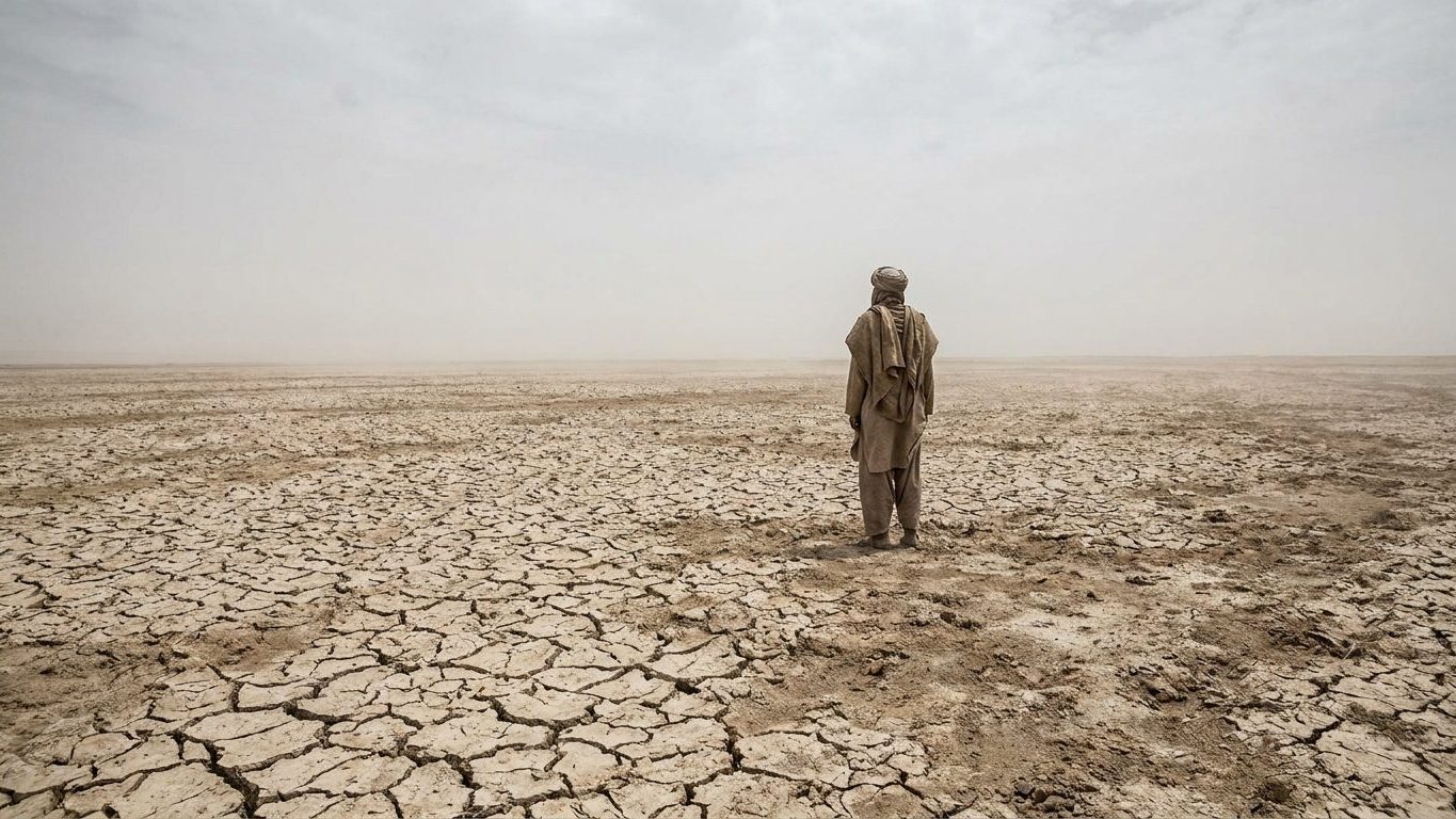
Five million square kilometers of freshwater reduced to a mere puddle on a continental scale. This is the story of Lake Chad, which stretched about 25,000 square kilometers in the early 1960s and has since melted away to only a fraction of its original surface. The culprit is not solely the sky: it is also the gates opened by four countries to irrigate their lands.
- Lake Chad lost 90% of its surface area between 1963 and 2008, shrinking from 25,000 to under 2,500 square kilometers.
- The diversion of water from the Chari River and its tributaries for irrigation gradually drained the lake, even amid droughts.
- Forty million people depended on the lake for fishing, herding, and farming—an ecosystem now collapsed.
A Lake Reduced by 90% of Its Surface
In 1963, the lake covered, according to sources, between 22,903 and 25,000 km2, while by 2008 it extended no more than 2,500 km2. The figure is chilling: Lake Chad today covers less than 10% of the surface it occupied in the 1960s. Some estimates are even harsher. According to the United Nations Environment Programme, the lake’s area fell from 26,000 square kilometers in 1963 to under 1,500 square kilometers.
Ninety percent less water. In a single generation.
This collapse is not by chance. The recent massive shrinkage of the lake’s area is mainly due to increasingly scarce rainfall, dramatic droughts in 1973, 1984 and 2008, and deforestation. But drought alone does not explain everything, far from it. Human withdrawals for agriculture did the rest, and that is where the story takes an almost absurd turn: the same countries that depend on the lake are the ones that helped empty it.
Four Countries, a Shared Faucet Left Open on the Tributaries
The Lake Chad does not belong to anyone and belongs to everyone at once. It sits on the border of Cameroon, Chad, Niger and Nigeria. Its replenishment depends almost entirely on two rivers that originate far from its shores: the main water input comes at roughly 90% from the Chari River and its tributary the Logone, both rising in the mountains of the Central African Republic. Another tributary, the Komadougou Yobé, has seen its flow collapse due to the presence of two dams built to divert water toward irrigated perimeters.
The mechanism is straightforward: each hectare of land irrigated upstream is one more hectare of lake that dries downstream.
The basin’s population exploded in the same period, which multiplied the pressure on the resource. The water-shortfall combined with a greater use of the lake’s water and rivers for irrigation, the basin’s population doubling in the interval, and irrigation quadrupling between 1983 and the following decades. The result: a hydrological system designed to feed a handful of millions of inhabitants had to absorb an unprecedented demand, without ever receiving more water in return.
Tens of Millions Deprived of Their Breadbasket
The Lake Chad Basin does not stop at its immediate shores. It stretches to Algeria, Libya, and Sudan, and has long served as a lifeline for nearly 40 million people. Fishermen, herders, and farmers once drew from it a livelihood, a wealth now difficult to imagine.
In the 1960s, the lake hosted about 135 fish species, and annual catches reached substantial volumes. According to the FAO, catches fell from about 80,000 tonnes in 1960 to less than 50,000 tonnes in 2000, a collapse that directly trimmed the incomes of thousands of fishing families.
The gradual disappearance of the lake also produced new lands, which paradoxically complicates any restoration idea. Many local residents oppose reflooding; the drying has exposed fertile lands from which they earn good income. A portion of the population that depended on the lake now makes a living from its absence, cultivating the soils it left bare as it retreated.
What Satellites Say Today
For decades, space agencies have kept a close watch on the lake, lacking enough ground-based measurement stations on the ground. Satellite images, notably those used by the American remote-sensing programs, have made it possible to document the lake’s sharp decline since the 1960s. It is from these records that most of the figures cited today by international organizations rest.
Yet these same monitoring programs add an important nuance to this tale of ongoing catastrophe.
According to data compiled by the U.S.-based EROS (Earth Resources Observation and Science), which has long used Landsat archives, the fluctuations in the lake’s water level have stabilized in recent years. Researchers who combined satellite imagery with gravimetric data from the GRACE program reached a similar conclusion for the recent period: the monthly extracted surface areas show an upward trend, ranging from about 1,242 to 2,231 km2 over thirteen years, from 2003 to 2016. A study focusing specifically on the lake’s southern basin goes in the same direction, noting a relatively stable phase with a slight uptick between 1992 and 2016.
The lake is not regaining its former grandeur, but it is no longer collapsing at the same pace as between 1963 and 1990.
This partial stabilization should not mask the scale of the initial disaster nor its persistent consequences for the populations that still rely on this water body, now tiny compared to what it once was. Satellite monitoring programs, for their part, continue to observe, image after image, a lake that wavers between survival and disappearance, while four countries continue to draw from the same rivers that once nearly drained it.
Sources: shango.media | ncbi.nlm.nih.gov | eros.usgs.gov
