
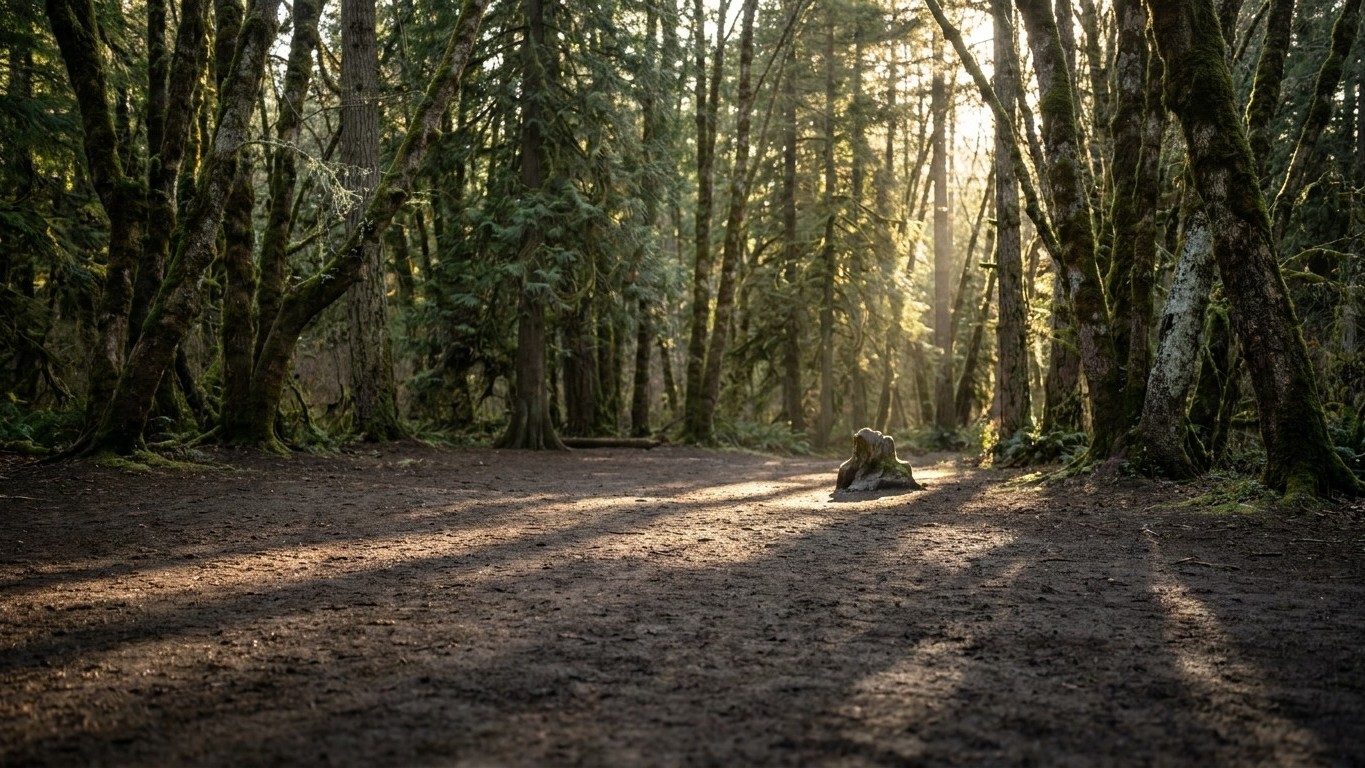
About thirty kilometers from Verdun, in the heart of the Spincourt State Forest, a patch of black soil stretches over about 1,000 square meters. No grass, no fern, not a single young oak has managed to take root there in nearly a century. In the north of the Meuse, the Spincourt forest hosts a 1,000 m2 clearing where nothing has grown for almost a century. The locals and forest rangers call it the “Gas Place.” A name that sounds like a local legend, except that it rests on a chemical reality documented and measured in the laboratory.
The story begins in the interwar period, when France sought to rid itself of the massive stocks of German chemical munitions recovered after the armistice. This site was chosen between 1926 and 1928 by a British industrialist to destroy more than 200,000 chemical shells of the German army. These projectiles, nicknamed “blue cross” shells, contained arsenical agents, notably arsines designed to pierce the gas masks of the era. The method selected to dispose of them? Open-air burning, directly on site, in the middle of the forest. A radical, rapid solution, and no one at the time measured the long-term consequences.
To Note
- Why has an entire clearing remained sterile for nearly 100 years despite no human intervention?
- What chemical secret did German scientists uncover in 2007 in this French forest?
- How did authorities react after realizing that thousands of neighboring agricultural hectares could be contaminated?
A Scientific Discovery Eight Decades Later
For decades, the clearing remained a local curiosity, a place where hunters and walkers paused without really asking questions. The trigger came from Germany. In 2007, German scientists Tobias Bausinger and Johannes Preuss revealed the existence, in the Spincourt forest, of a zone polluted by arsenic following the disposal by burning, in the interwar period, of 200,000 chemical shells. Their study, published in the journal Science of the Total Environment, relies on soil samples taken directly in the clearing.
The results were unequivocal. Soil samples collected from this site contained as much as 17% pure arsenic, along with exceedingly high levels of cadmium and mercury. To illustrate the scale, another analysis by the same research team showed that the arsenic concentration there was 1,000 to 10,000 times higher than in natural environments. By comparison, arsenic naturally accounts for only a tiny fraction of the Earth’s crust, about 0.00015%. Here, on less than a hectare, the concentration is close to that of an industrial ore.
The soil isn’t just arsenic-polluted. It contains substantial amounts of arsenic derivatives, as well as very high quantities of cadmium, lead, mercury, and other heavy metals. This toxic cocktail explains why vegetation, which normally can reclaim bare ground in a few years, has never managed to take root here. The roots find only a soil saturated with metals, literally sterilized by the fire and chemistry from nearly a century ago.
A Site Now Fenced Off and Under Surveillance
The 2007 discovery changes everything. What had been a forest anomaly becomes an official file, monitored by the prefectural authorities and French scientific agencies. It took until 2012 for the Meuse prefecture to order an access ban to the site. Thus, the clearing was fenced off in the early 2010s to bar access to walkers. A sensible decision: walking on soil carrying 17% pure arsenic has never been among the recommended outdoor activities.
The BRGM (Bureau of Geological and Mineral Research) took over from 2014. A BRGM engineer, Daniel Hubé, bluntly describes the land: it is literally dead ground. A comprehensive scientific and technical assessment was conducted between April 2014 and March 2015, under the Meuse prefecture, combining archival, pyrotechnic, and analytical approaches. The objective: to map precisely the extent of the contamination and to assess the risks of pollutant migration toward the surrounding aquifers.
Investigations on this first site lead to a much larger discovery. Delving into archives, investigators found evidence of a far more massive destruction operation carried out a few years earlier on neighboring agricultural lands. More than 1.5 million chemical shells and 30,000 explosive shells were indeed destroyed near Spincourt between 1920 and 1926 by the company Clere & Schwander on the outskirts of the communes Muzeray, Loison, and Vaudoncourt. This revelation had very tangible consequences for local farmers: in 2015, an initial diagnosis led to the immediate sequestration of 101 hectares of potentially contaminated land, and the harvests of seven associated farms were destroyed, as was the milk produced on those lands.
Securing a Lasting Solution to a World War I Scar
Facing a site that remains active nearly a century after the events, the authorities ultimately chose a durable solution rather than a simple, chain-link fence. The state services decided to “secure” the Gas Place, by constructing a dome over the site. The aim is to permanently isolate the contaminated soil, preventing both rainwater erosion and any accidental contact with wildlife or curious visitors.
The Gas Place at Spincourt is not an isolated case in the post–World War I landscape. Other comparable pollution hotspots likely exist elsewhere along the old front, yet to be identified. Bausinger himself had suspected this as early as 2007: other similar polluted zones should exist in the vicinity of the former front area, the danger being precisely that polluted lands would be exploited for agriculture, due to a lack of awareness about the sites’ past. A century after the armistice, the Meuse region thus continues to reveal, piece by piece, the chemical traces of a conflict that many believed had been closed for a long time.
Sources: vice.com | cdi.eau-rhin-meuse.fr
