
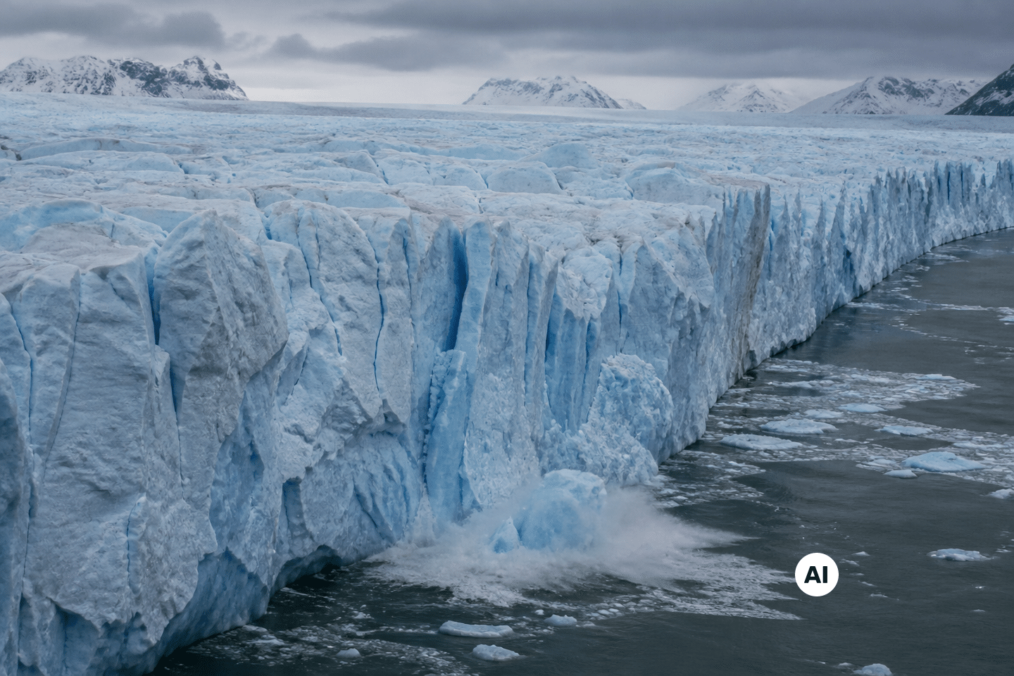
What if climate models have underestimated for years one of the planet’s most closely watched glaciers? A new ice-sheet model, developed by glaciologists at the University of California, Irvine, and NASA’s Jet Propulsion Laboratory, projects that the melting of the Thwaites Glacier will contribute to sea-level rise of up to 30 millimeters by 2100, twice the previous estimates.
- A new model suggests that the Thwaites Glacier could push sea levels up by as much as 30 millimeters by 2100, twice as much as previous estimates.
- Researchers found that the “grounding line” is actually a broad zone several kilometers wide where warm seawater infiltrates beneath the ice in step with the tides.
- The Mouginot Ridge rocky crest, which still slows the glacier, is gradually weakening due to these infiltrations, risking acceleration of detachment and degradation.
- The glacier that hid a fault twice as severe as expected
- When seawater infiltrates beneath miles of ice
- A rocky crest, last bastion before the glacier’s runaway
The glacier that hid a fault twice as severe as expected
Thwaites is one of those names that regularly appear in climate news, often paired with alarming nicknames. The study published in Nature Communications provides a precise measure to this concern: up to 30 millimeters of sea level rise by 2100, and this even without further warming.
This figure doubles previous projections. It is not a matter of a statistical tweak; it is a fundamental revision. Mattia Poinelli, lead author of the work, now a project scientist at UCLA and affiliated with JPL, led this reconstruction which rests on more than three decades of observations.
Tracing back the glacial history since 1990, the researchers found that the observed change was four times more pronounced than what traditional models predicted. In other words, the glacier was already moving much faster than previously thought, with monitoring tools that typically track the trend failing to capture it correctly.
Thwaites is not an isolated case in West Antarctica. It sits in the Amundsen Sea Embayment, which accounts for about a third of the mass loss of the entire Antarctic ice sheet. Understanding what happens beneath its surface is thus key to understanding a large share of the fate of global coastlines.
When seawater infiltrates beneath miles of ice
To understand why the old models were incorrect, one must return to a central concept in glaciology: the grounding line. Until now, it was imagined as a thin, stable boundary—the precise point where ice resting on bedrock begins to float on the ocean.
The research team proposes a different image: a broad grounding zone spanning several kilometers. Not a line, but a moving space where the ice rises and settles in step with the tides. This nuance changes the interpretation of the phenomenon entirely.
In this extended zone, warm seawater penetrates deeply under the ice, over several kilometers. With each tidal cycle, it floods this space, pressurized and warmed by ocean currents themselves altered by climate change.
This mechanism resembles an inside-out attack. Rather than melting only at the surface, the glacier is gnawed from below, in corners that had been difficult to observe until now. It is precisely here that radar data from the Finnish ICEYE constellation made the difference, detecting kilometer-scale fluctuations invisible previously.
A rocky crest, last bastion before the glacier’s runaway
At the heart of this system lies a geological feature named Mouginot Ridge. This rocky crest acts as a natural fulcrum, somewhat like a wedge that would hold a heavy object on a slope.
For now, it still supports the main trunk of Thwaites, slowing its march toward the ocean. But the processes observed in the grounding zone are accelerating precisely this detachment, gradually weakening the contact between the ice and this stabilizing crest.
Each intrusion of warm water, each tidal cycle, gnaws a little more at this bond. The glacier’s flow speeds up, and with it its overall deterioration. The researchers emphasize that once this crest becomes unmoored, the glacier will continue to degrade, following a self-sustaining dynamic.
This new model does not merely revise a single number upward. It reveals a physical mechanism that had been poorly understood, capable of explaining why Thwaites is evolving more quickly than expected. The question remains how this improved understanding will refine future climate projections, and how long this rocky crest will hold in the face of water infiltrating beneath its feet of ice.
Sources: UC Irvine, NASA JPL: Melting of Antarctica’s Thwaites Glacier worse than thought (ps.uci.edu) | Sea-level contribution from Thwaites Glacier doubles in an observation-constrained ice-sheet model (nature.com)
Article prepared with the help of AI · Our method