
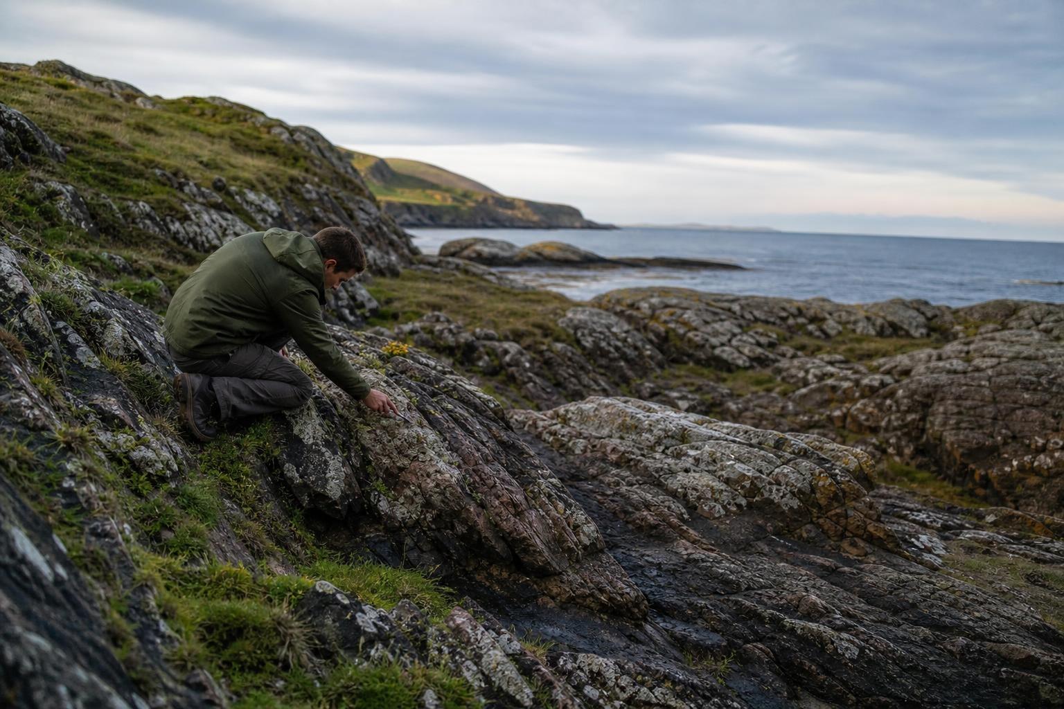
The British Isles carry a long and geologic memory. Long after the last ice sheets retreated, the ground is still adjusting and tilting, reshaping coasts and changing how seas meet the shore and the cities that depend on them. What feels like solid ground is in fact still responding to the weight of an Ice Age that ended thousands of years ago yet remains very present in the landscape.
A landscape still on the move
Across the UK, precise GPS stations and tide gauges detect a subtle, persistent vertical motion of the land—rising in the north and subsiding in the south. Geologists call this glacio-isostatic adjustment, the slow rebound of Earth’s crust after the ice sheets melted and their immense weight was removed. “The land is still catching its breath,” as one coastal scientist likes to put it.
In northern Britain, particularly in Scotland, the crust is inching upward by roughly a millimeter or two per year, which sounds tiny but adds up over long decades and centuries. Farther south, from the Midlands to the Channel, the ground is gently sinking as the old “forebulge” that once arched up around the ice collapses back down into the mantle’s slow, viscous flow.
The physics of a slow rebound
Ice a kilometer or more thick once pressed down on the Highlands, driving the crust into the mantle like a loaded spring. Remove that weight, and the spring begins to unwind—not in seconds, but over thousands of years because Earth’s mantle behaves like a very thick fluid. It is solid on short timescales, yet over long periods it creeps, flowing like honey warmed by the planet’s heat.
This interplay between elastic snap-back and viscous relaxation explains the north–south tilt we observe today. Where the ice was thickest, the crust is still rebounding; where it bulged upward beyond the ice margin, the crust is settling. “Think of it as a vast see-saw, with time as the pivot,” say geophysicists who model these motions using satellite data and mantle viscosity estimates.
Traces written on the coast
You can read this story in beaches and bays as easily as in scientific graphs and models. On western and northern shores, raised marine terraces perch like ancient steps above today’s tide, proof that land has risen while the ocean level remained globally more or less steady. In river estuaries like the Forth and Clyde, subtle terraces and tilted shorelines whisper of long, patient uplift.
Meanwhile, southern salt marshes tell the opposite tale. Subsidence nudges high tides farther inland, promoting marsh drowning and encouraging waves to nibble at soft cliffs and reclaimed farmland. Archaeologists find peat layers and old harbors now below present sea level, testament to the land’s steady descent and the sea’s incremental advance.
- Raised shorelines in the north, sinking marshes in the south, and long tide-gauge records together map the quiet tilt of the island.
Why this quiet tilt matters
Sea level is not just about the ocean rising; it is also about the land moving. Where the ground lifts, relative sea level can appear almost stable despite global warming; where it sinks, the same global rise hits harder and faster. That difference shapes risk: flood defenses, storm-surge models, and insurance maps all hinge on millimeters per year.
Northern communities gain a small but real buffer from uplift, which can offset part of global sea-level rise and slow local erosion. Southern and eastern coasts—think low-lying estuaries and broad fens—face a double pressure: higher seas from climate change atop background subsidence. “It’s not dramatic in a single season, but it compounds over a lifetime,” note coastal planners working on resilience strategies.
For engineers, these trends inform design lifetimes, crest heights, and the timing of upgrades to barriers and embankments. For communities, they shape zoning choices, habitat restoration, and where nature-based solutions—like saltmarsh expansion—can keep pace with the tide.
Watching the future arrive, millimeter by millimeter
Satellites now track vertical land motion with remarkable precision, while dense GNSS networks and InSAR radar imagery reveal both broad regional patterns and local human-made subsidence from groundwater use, mining, or building loads. These data help refine models that blend ice-history maps, mantle rheology curves, and modern sea-level observations into actionable forecasts.
None of this calls for panic, but it does call for attention. A nation shaped by ice and ocean must treat its ground as dynamic, not as a fixed stage set. “The past is still with us,” one geologist remarks, “written in the slow rise of the north and the gentle sag of the south.” If we measure carefully and plan steadily, we can turn ancient forces into modern foresight, keeping coasts safe and communities thriving as the centuries unfold.
