
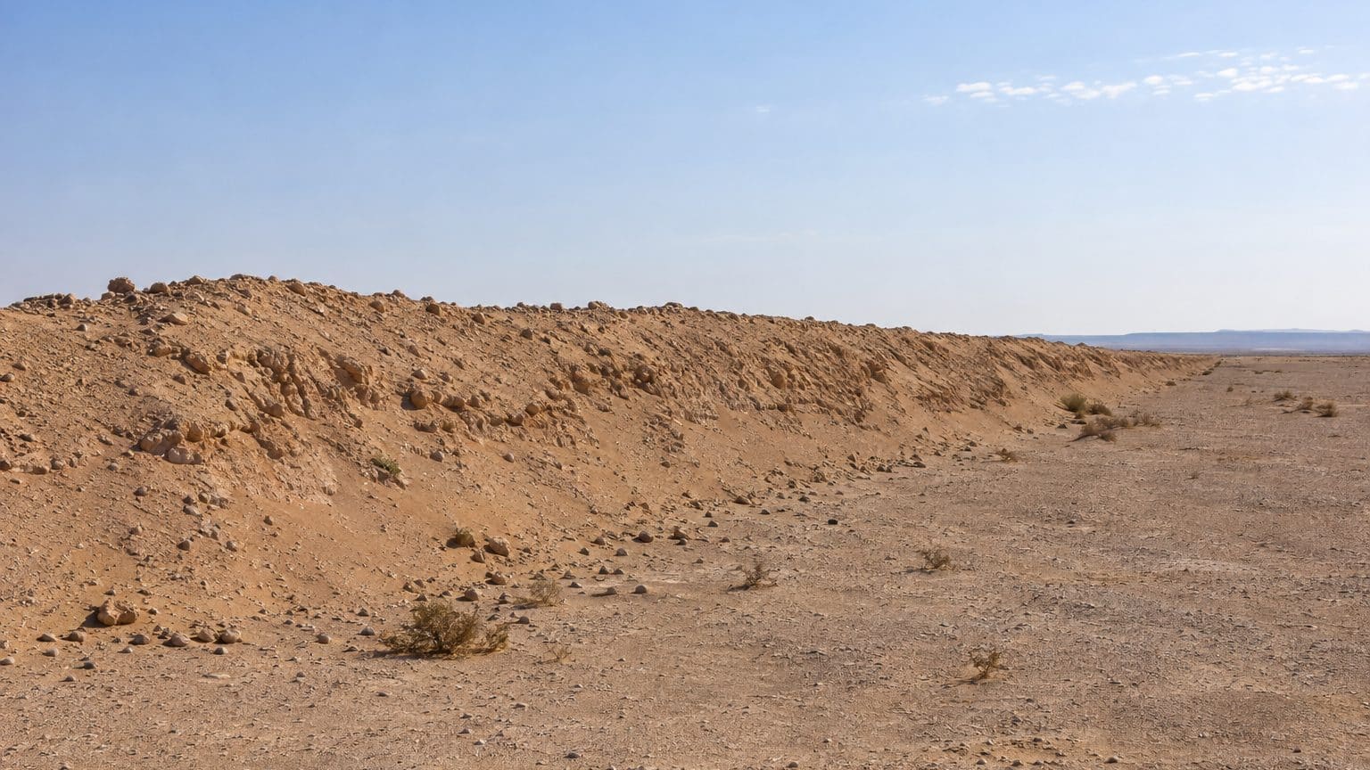
- The Berm measures about 2,700 km, between 1980 and 1987.
- Between 1,465 km and nearly its entire length remain contaminated by mines and unexploded ordnance according to MINURSO.
- Mine clearing continues, with 24 minefields still untreated to the east of the wall as of August 15.
August 1980: a project born out of a confrontation
Between 1980 and 1987, Morocco erected in Western Sahara a continuous line of fortifications spanning 2,700 km, more than the straight-line distance between Paris and Moscow, which is about 2,500 km. This second-longest structure ever built, after the Great Wall of China, divides areas under Moroccan control from those held by the Polisario Front. Forty years later, its sandy embankments still stand, and the terrain in front of them remains strewn with mines.
It is known as the Berm, or the “sand wall.”
Following the Spanish withdrawal in 1975, the territory became disputed, and Morocco faced the Polisario Front from the early 1980s, backed by Algeria. The armed conflict between the two sides would continue until 1991, according to the on-site UN mission, MINURSO.
It all began with a clash in the Ouarkziz region. A few weeks later, in August 1980, Rabat launched a project aimed at securing the Sahara in a lasting way. The stakes are enormous: the territory covers about 284,000 km², a little more than half the area of France.
The wall does not emerge from the ground in a single block. Six distinct segments successively push the control line further from the Moroccan side. The first, about 500 km long, protects the area from phosphate mines at Bou Craa, a strategically important site for the kingdom. The final segment, stretching 550 km, closes the system in 1987 by reaching the locality of Guerguerat.
The longest stretch, roughly 670 km, dates from 1985 and skirts around Dakhla.
For the embankment, the technique would have drawn from a traditional Moroccan agricultural method that shields palm trees from floods by surrounding them with raised sand. Foreign military experts, including South Africans and Israelis, are said to have assisted certain phases, including the fifth.
Three-meter embankments, radars and millions of mines
Talking about a “wall” is almost misleading. Descriptions speak of sand and stone mounds about 3 m high, punctuated by bunkers, fences and mines, with radars and surveillance equipment scanning the area ahead of the structure. An observer described in 2001 a ridge topped by a 2 m wall, with a trench, and a base roughly every 5 km.
Figures vary from one source to another. The Bpi media library cites construction from 1980 to 1986, while most accounts place the completion in 1987, and the length ranges between 2,700 and 2,720 km.
The works are also measured in people: around 100,000 Moroccan soldiers man the line. On munitions, the most widely cited estimate is 7 million anti-personnel mines, which would amount to nearly 2,600 mines per kilometer along the wall. The site The Conversation, which published a state-of-play less than a month ago, goes as far as reporting more than 10 million mines. The gap between figures alone underscores the uncertainty of the tally.
Wind and floods can move mines into areas that have already been cleared.
What nobody will see up close
No tourists come to photograph it, no explanatory signs nearby, notes the original article. A practical guide to the site describes it as a militarized structure, lined with mines and guard posts, with access strictly regulated.
According to MINURSO, more than 1,465 km of the wall, out of 2,700, remain heavily contaminated by mines and unexploded ordnance on both sides of the structure. This pollution dates back to the 1975–1991 conflict between the Moroccan army and the Polisario Front. It endangers nomads, hampers rural life, and jeopardizes the livestock on which families depend.
To the east of the wall lies the area controlled by the Polisario Front, backed by Algeria and Mauritania. This is where UN observers patrol. Since 2008, the UN Mine Action Service (UNMAS) has surveyed or assessed 43,610 km of tracks as being free of explosive devices for its round trips. It has also destroyed 694 mines and 22,183 explosive devices.
The human toll remains unclear. The Landmine and Cluster Munition Monitor records 1,427 victims up to 2017, noting that the total real figure is unknown, while the UN has logged more than 1,000 casualties east of the wall.
The latest UN Secretary-General report, covering October 2025 to September 2026, gauge the remaining work. East of the wall, 24 of the 68 known minefields and 31 of the 543 submunition strike zones still awaited demining as of August 15. On the Moroccan side, the Royal Moroccan Army told MINURSO that it had cleared about 268.97 million square meters, roughly 2.5 times the area of Paris. UNMAS teams have deemed 12,401 km of roads east of the structure free of visible devices.
The funding question remains: UNMAS indicated it was seeking an additional $3.5 million to tackle all known contamination east of the wall, excluding the buffer zone. At Porto University, a project already explores biodiversity restoration prospects for the region.
Sources: le-bouillon-larochelle.fr | letribunaldunet.fr
