
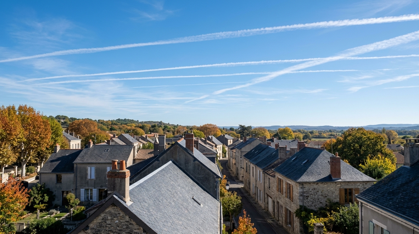
A sky streaked with white lines that refuse to disappear is never trivial. This Sunday, if you look up, you might notice certain airplane contrails stretching out, thickening, and then stalling for minutes, or even hours. This detail, often overlooked, says a lot about the state of the atmosphere above our heads. And above all, it can give you a head start to anticipate how the weather will evolve by Monday.
- Persistent airplane contrails signal air rich in humidity at altitude, often heralding a weather deterioration.
- A contrail that dissipates quickly indicates dry air, a sign of lasting stability.
- Around 3% of flights are responsible for 80% of the warming associated with these contrails, which has led Air France to test rerouting certain flights to avoid zones conducive to their formation.
- Why the sky is streaked white this Sunday
- What the persistence of contrails reveals about high-altitude air
- Toward Monday: what to expect weather-wise
Why the sky is streaked white this Sunday
The mechanism behind these white traces is simple, yet fascinating. Condensation trails form when the water vapor emitted by aircraft engines meets extremely cold air at altitude, typically above about 6,000 metres. Commercial jets cruise between 8 and 12 kilometres in altitude, where temperatures hover around −40 to −60°C. In this frigid environment, the water vapor condenses instantaneously around soot particles expelled by the engines, creating those characteristic white filaments. This phenomenon even has a scientific name: it is called cirrus homogenitus, an artificial cloud distinctly different from natural clouds, because it originates directly from aviation activity.
What the persistence of contrails reveals about the air aloft
Not all contrails behave the same way. Some dissipate within seconds, while others persist for hours, widen, and eventually blend into real cloudy expanses. This difference is not random: it directly depends on the humidity level present at high altitude. When the air is dry, the contrail disappears quickly. But when the air is already humid, the contrail persists, showing that the atmosphere is saturated and ready to evolve. It’s a precious indicator, almost a free signal sent by the sky: high-altitude humidity often precedes a change in weather in the hours or the day that follows.
This phenomenon has taken on new dimension with the intensification of air traffic. An analysis even revealed that around 3% of flights are responsible for 80% of the warming associated with contrails, a figure that raises questions about the climate impact of these artificial clouds. The topic, long overlooked, is gaining visibility: it recently featured at a Paris conference led by an ecologist deputy who stresses the need to better understand and limit this phenomenon.
In response to this finding, some airlines are beginning to act. Air France conducted an experiment between February and April 2026, analyzing thousands of transatlantic flights to identify atmospheric zones most conducive to the formation of these warming contrails. A concrete result: some of the tested flights were redirected in real time to avoid those sensitive zones. A promising approach, even if aviation is only at the early stages of recognizing this issue.
Toward Monday: what to expect weather-wise
If you observe this Sunday contrails that elongate and refuse to fade, take it as a subtle warning. It typically signals the progressive arrival of moister air, often a precursor to weather deterioration in the hours that follow. Specifically, this can translate into increased cloudiness, or even precipitation by Monday, especially if other signs confirm the trend, such as a gradually overcast sky or a drop in atmospheric pressure. Conversely, contrails that disappear quickly indicate dry air aloft, generally implying lasting stability.
At the start of autumn, a period when air masses evolve rapidly, this type of indicator remains useful for planning a outing, a trip, or simply adjusting your clothing. Keep an eye on the sky: these white streaks, far from a mere aesthetic detail, are a true atmospheric thermometer within sight.
The next time an aircraft crosses the sky leaving a lingering contrail behind, you will know it is not just a visual whim. This phenomenon, at the crossroads of atmospheric physics and climate concerns, deserves a bit more attention, both to forecast the weather and to measure the growing footprint of air traffic on our atmosphere.
