
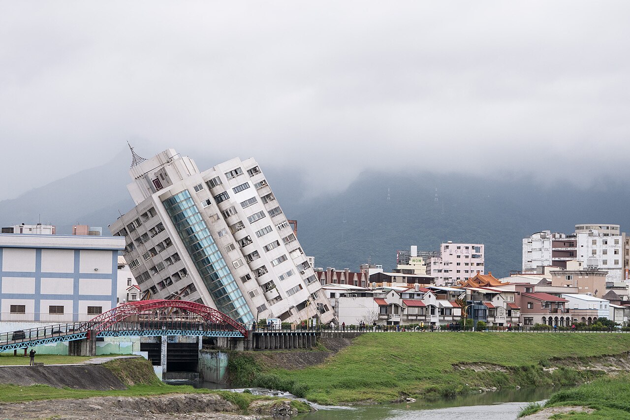
In the United States, researchers have developed a new method to identify zones where powerful earthquakes could occur. However, it is important to emphasize that this represents a potential improvement in risk assessment rather than a real ability to predict when earthquakes will occur.
Mapping the segments resistant to plate movement
During the year 2026, earthquakes with magnitudes above 7 on the Richter scale struck several countries, including Indonesia, the Philippines, Japan, Colombia, Venezuela, and the Tonga archipelago. The search for solutions enabling an improvement in risk assessment—and thus their management—continues. Geophysicists from the Department of Earth Sciences at the University of California, Riverside (United States) say they have developed a new method to try to enhance current knowledge.
These works, published in the Geophysical Research Letters journal in July 2026, propose an approach that prioritizes the precise localization of danger zones. The system relies on detecting microscopic deformations of the Earth’s crust, notably through high-precision GPS measurements. The idea is to capture the very small and slow movements of the ground that occur when two tectonic plates lock against each other.
Next, an algorithm processes the data obtained, in order to estimate the zone between the plates that remains strongly locked and thus subject to strong stresses. Indeed, the tool developed by the scientists maps the locked fault segments that resist the movement of the plates. These “hard points” quietly concentrate energy accumulated over decades before giving way abruptly.
Kamchatka as a natural laboratory
To validate their model, the researchers used the Kamchatka subduction zone as a natural laboratory. Located in Russia’s Far East, this region is one of the most seismically active on the planet. The geophysicists stated that their algorithm identified a large locking zone there. The method proved spectacularly accurate, as the site matched exactly the main rupture point behind the July 29, 2025 earthquake — magnitude 8.8 on the Richter scale.
“Large earthquakes occur where tectonic plates are locked by friction and accumulate stresses over time. We study how this process unfolds before the magnitude-8.8 earthquake that struck off Kamchatka in 2025. From satellite measurements of ground movements, we identify the zones at the plate boundary that were locked and accumulating energy before the quake, without assuming where the rupture would occur,” the study notes.
A method that does not predict the date of earthquakes
Despite these promising results, it is essential to emphasize that the method does not allow predicting the exact date when an earthquake will occur. In fact, that was not the objective the researchers were aiming to achieve. Additionally, the method does not enable predicting the magnitude of a tsunami resulting from an oceanic earthquake. It should also be noted that the viability of the approach depends on the amount of data available. While land-based GPS stations appear effective, measurements at sea are still severely lacking, where the world’s most dangerous fault lines lie.
Finally, the research team is now attempting to apply their method to other major subduction zones, notably in Mexico, Japan, and New Zealand. Further work could also address the famous San Andreas Fault in California, where a “Big One” is expected in the coming decades.
