
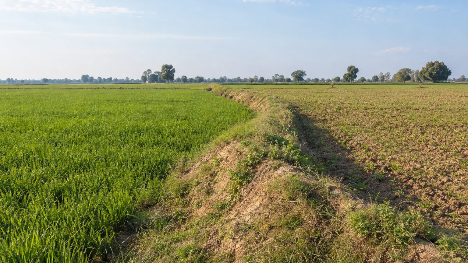
The Inland Customs Line of British India, officially named the Inland Customs Line in 1843, eventually stretched to 2,504 miles, roughly 4,030 kilometers, from the Himalayas down to Orissa. Across at least 800 miles, about 1,300 kilometers, it took the form of a living thorn hedge. In the Etawah district of Uttar Pradesh, there may remain only a simple earthen embankment.
A barrier of 4,030 km has nearly disappeared, from maps as well as memories.
- The inland customs line measured 4,030 km in total, of which about 1,300 km consisted of a living thorn hedge ranging between 2.4 and 3.7 meters in height
- Fourteen thousand eight hundred men guarded this hedge in 1872, i.e., more than three men per kilometer on average
- Abolished on 1 April 1879, the hedge gradually disappeared as its route was repurposed for roads and railways
A Salt Tax, a Barrier Across a Subcontinent
At its root lies the salt tax. To collect it, the British administration laid a line of control across the nation that could be crossed only by passing in front of its officers. It stretches farther than the distance from Paris to Moscow. The figures sometimes blur the line between the line and the hedge: the 4,030 km refer to the entire setup, while the hedge itself covers at least 1,300 km.
This hedge was not merely a straight row of shrubs. Plants used included the jujube, acacia, karonda, prickly pear, and euphorbias, all armed with thorns. According to the inland customs reports cited by Roy Moxham, it stood no less than about 2.4 meters high (8 feet) and about 1.2 meters thick (4 feet). In places, it rose to as much as 3.7 meters high (12 feet) and widened to about 4.3 meters (14 feet).
Maintenance and surveillance required substantial labor. In 1872, 14,188 men guarded the line, averaging more than three guards per kilometer when the length is spread across the 4,030 km. The figures I consulted reproduce those from colonial reports, read through Moxham and Wikipedia rather than from direct sources.
An April 1st to Stop It All
The line was abolished on 1 April 1879.
Financial reforms had harmonized taxes across India, making salt smuggling unnecessary. The hedge, some accounts suggest, lingered for about a decade after the line itself was dissolved. Once the posts were shuttered, there was no longer any incentive to trim or replant it. Since its path sometimes formed the only straight line visible for miles, it could have been repurposed for roads and railways, thereby erasing other segments.
The Etawah Embankment
The story would have remained buried were it not for a stroke of library-housed luck. In 1995, Roy Moxham, then a curator at the London Library, came across a passage about the hedge in the memoirs of a British official, William Henry Sleeman. The idea seemed so grand that he initially suspected a hoax. He checked the archives of the India Office at the British Library and resolved to pursue what, if anything, remained.
Three journeys to India for a single embankment.
After years of research in London and fieldwork on the ground, he in 1998 identified a small raised mound in the Etawah district. It could be all that survives of the “great hedge of India.” Some accounts mention only a few hundred meters in length, though I cannot confirm the exact extent. In 2001, Moxham published The Great Hedge of India, through Constable & Robinson.
Nothing spectacular to photograph, essentially: a strip of earth slightly raised at the edge of cultivated plots, indistinguishable from a field boundary. The thorns themselves have vanished.
The salt tax outlived the hedge, and Moxham reminds us that it later fed Gandhi’s Salt March, one of the defining episodes of the struggle toward independence.
Sources: dnaindia.com | en.wikipedia.org
