
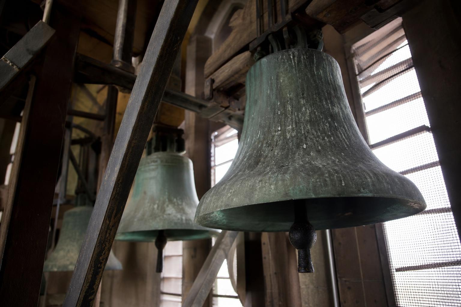
As a seismologist, I deal in evidence, not myth. And the evidence is clear. In the winter of 1811–1812, a sequence of colossal earthquakes shook the Mississippi heartland so violently that reports say they rang church bells in Boston. These were the strongest quakes in recorded U.S. history east of the Rockies, and their reach still shapes how we understand American seismic risk today.
What really happened in 1811–1812
The sequence began on December 16, 1811, before dawn, near the village of New Madrid, Missouri. Two more massive events followed on January 23, 1812, and February 7, 1812. Contemporary accounts describe the ground rolling in waves, trees snapping like straws, and chimneys tumbling for hundreds of miles. One witness wrote, “the earth heaved and cracked,” while another recalled, “the river ran backward for a time.”
Those vivid lines match what the landscape still tells us. Across the bootheel of Missouri, northeast Arkansas, and western Tennessee, you can find sand blows—volcanic-looking mounds where liquefied sand erupted to the surface. You can trace riverbank slumps, ground fissures, and the birth of Reelfoot Lake, formed when the land sagged during the February shock. These are geologic fingerprints of extreme shaking that no diary alone could invent.
The best modern estimates place the main shocks in the high 7s on the moment magnitude scale, though uncertainty remains. That range aligns with the enormous area of damage, the persistent aftershocks that rattled the region for months, and the far-reaching felt reports—“the bells in Boston are said to have sounded,” as newspapers later claimed.
Why the shaking traveled so far
East of the Rockies, the crust is older, colder, and stiffer. Seismic waves lose energy more slowly here than in the fractured, warmer crust of the West. That’s why a magnitude 7 in the central U.S. can be felt across half the continent, while a similar quake in California is more locally confined.
Add to that the shape of ancient geologic structures beneath the Mississippi embayment—buried rifts and stiff sedimentary packages—and you get efficient waveguides that carry motion astonishing distances. It wasn’t magic that set bells moving in New England. It was physics, riding on resilient rock.
What we know—and what we still debate
Two centuries later, the New Madrid sequence remains a touchstone for American seismology. Some aspects are settled, others are contested. Here’s the distilled picture:
- The sequence comprised at least three great earthquakes between December 1811 and February 1812, plus thousands of aftershocks; the strongest likely occurred on February 7, 1812, rupturing multiple segments of what we now call the New Madrid Seismic Zone.
Researchers read the historical accounts, the geologic evidence, and today’s instrumented microquakes together to map the buried faults. Paleoseismic trenches cut through sand blows and fissures suggest prior large events roughly every few centuries, though the recurrence interval is still debated. As one colleague likes to say, “the past is our instrument, carved in sediment.”
There’s also an honest argument over magnitudes. Were they mid–7s or even larger? Our instruments didn’t exist in 1811, so we triangulate from intensity reports, deformation features, and modern analogues. Different methods yield slightly different answers, but none erase the central truth: these were continental-scale events.
The human landscape those quakes would face today
In 1811, the central Mississippi Valley was sparsely settled. Today, it’s home to highways, pipelines, power corridors, and major cities. The New Madrid Seismic Zone sits within reach of Memphis, St. Louis, and numerous river towns. Fragile river levees, soft soils, and unreinforced masonry make for a dangerous mix.
Modern codes have improved new construction, but much of the existing stock predates robust seismic standards. Liquefaction—soil turning to a quake-driven slurry—remains a primary hazard in low-lying sediments. As one emergency manager told me, “our biggest vulnerability is what we think we’ve already fixed.”
What the 1811–1812 sequence teaches us now
The lesson is both sobering and empowering. Intraplate earthquakes, though less frequent, can be astonishingly broad in impact. Preparedness is not a coastal luxury; it’s a continental necessity. Small measures matter: anchoring heavy furniture, retrofitting brittle structures, and planning for long disruptions to bridges and lifelines that cross the Mississippi.
When I teach new analysts, I quote a line I once heard from an old mentor: “Earthquakes don’t read our maps.” The 1811–1812 events remind us that seismic hazard is a dialogue between deep time and modern life. We listen, we model, we prepare. And we remember that on a cold winter night, long before seismometers, the heart of the continent flexed—and the echoes were heard a thousand miles away.
