
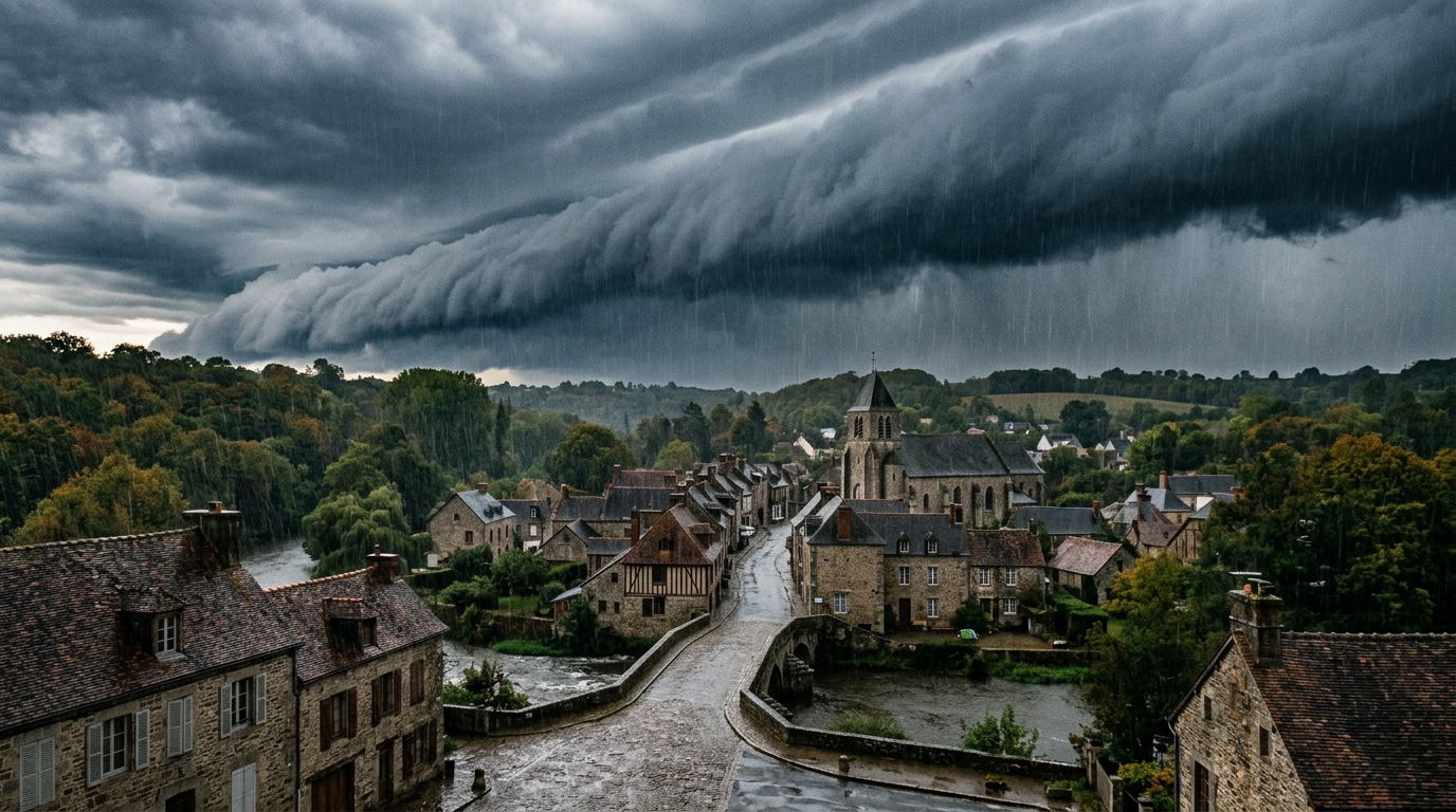
The sky is changing its face. After weeks of crushing heat and ground cracked by drought, a humidity-driven wind is set to sweep across a large portion of the country. But this is not a simple gust or a standard disturbance arriving: it is a far vaster phenomenon, capable of transporting colossal amounts of water across thousands of kilometers. Its name almost evokes a Scandinavian legend, but it is indeed a meteorological reality, already well known to scientists. This weekend, this invisible corridor could well change our daily routines.
- An atmospheric river, a long corridor of water vapor spanning 5,000 to 6,000 km, will cross France this weekend, targeting the Gulf of Lion, the Cévennes, and the southern Massif Central
- This phenomenon can carry an humidity flux exceeding twice the flow of the Amazon, with rainfall totals forecast at several hundred millimeters over the Cévennes reliefs in about two weeks
- In light of flood and landslide risks, it is advised to avoid flood-prone areas, not to park near watercourses, and to monitor weather bulletins.
- An invisible 6,000-km river in the sky
- More than twice the Amazon’s flow in pure water vapor
- Rain, floods and landslides: what to expect this weekend
An invisible 6,000-km river in the sky
It is called an atmospheric river, and the name is no poetic fancy. It is a long ribbon of clouds, a true rain-maker disturbance, that originates from the tropics or subtropical regions before moving toward temperate latitudes, like ours. The term comes directly from the English atmospheric river, sometimes nicknamed the pineapple express in the United States when it involves air masses arriving from Hawaii, or the rum express in Europe, referencing its Caribbean origin. What strikes most are its dimensions: between 5,000 and 6,000 kilometers long, and only a few hundred kilometers wide. A suspended river, invisible to the naked eye, but very real in weather models. After a summer deemed the hottest ever observed, France is entering a transitional phase marked by a gradual return of rainfall. Models show a clear humid signal around the Gulf of Lion, the Cévennes, and the southern Massif Central, a zone particularly targeted by these forecasts.
More than twice the Amazon’s discharge in pure water vapor
Here is the revelation that is most striking: the humidity flux carried by an atmospheric river can exceed two times the discharge of the Amazon River. Rest assured, this is not a liquid river floating in the sky, but water vapor concentrated along a narrow corridor. This mechanism, initially, plays a rather beneficial role: it helps rebalance the atmosphere by transporting warm, humid air toward temperate zones. In the United States, this phenomenon is even vital for certain regions: California can receive up to 30 to 50% of its annual rainfall thanks to these rivers coming from the Pacific, which led American authorities to create a 1-to-5 scale to evaluate the benefit-risk balance of each episode. In France, some simulations already envisage substantial rainfall totals over about two weeks, with locally values exceeding several hundred millimeters over the Cévennes reliefs. This could end the extreme drought that persists over much of the country, but could also worry, if the intensity were to escalate.
Rain, floods and landslides: what to expect this weekend
The scenario unfolds in several steps. First, an increased risk of heavy Mediterranean rainfall, particularly around the Gulf of Lion, the Cévennes, and the southern Massif Central. Then, a more unsettled weather that could spread to a larger part of the country. This shift is also explained by the awakening of depressional activity over the Atlantic: a powerful cyclogenesis was recently observed off the coast of Ireland, with a depression dipping below 960 hPa, a clear sign that atmospheric dynamics are changing tempo after a particularly stable summer. Models for the next two weeks confirm moist signals in the west and south of the country, more pronounced in Mediterranean regions where thundery episodes are anticipated. The northeast, by contrast, should stay apart, protected by a powerful anticyclone centered on Scandinavia and western Russia. As November approaches, a possible strengthening of the oceanic current could further amplify these moist flows.
Practically, if the models confirm, it is better to anticipate. Here are some useful precautions to adopt before this humid corridor passes:
- Avoid flood-prone routes, especially in the Cévennes and southern Massif Central
- Do not park near watercourses in case of possible overflows
- Be cautious of the planned heavy rain and thunderstorm episodes
- Monitor weather bulletins by following the progression of the phenomenon step by step
- Dress accordingly: October brings a rapid drop in temperatures, down by as much as 4°C from the start to the end of the month
This return of rain is broadly good news after months of extreme drought. But as often with phenomena coming from afar, the benefit can quickly turn into risk, such as floods or landslides, if rainfall totals intensify too quickly.
This corridor of vapor, invisible yet powerful, illustrates well the complexity of the sky that lies above us: the same phenomenon can bring the long-awaited relief after the drought, while also waking vigilance against floods and landslides. It remains to be seen whether this transition will mark autumn in a lasting way, or if it will be just one episode among others in an increasingly unpredictable climate.
