
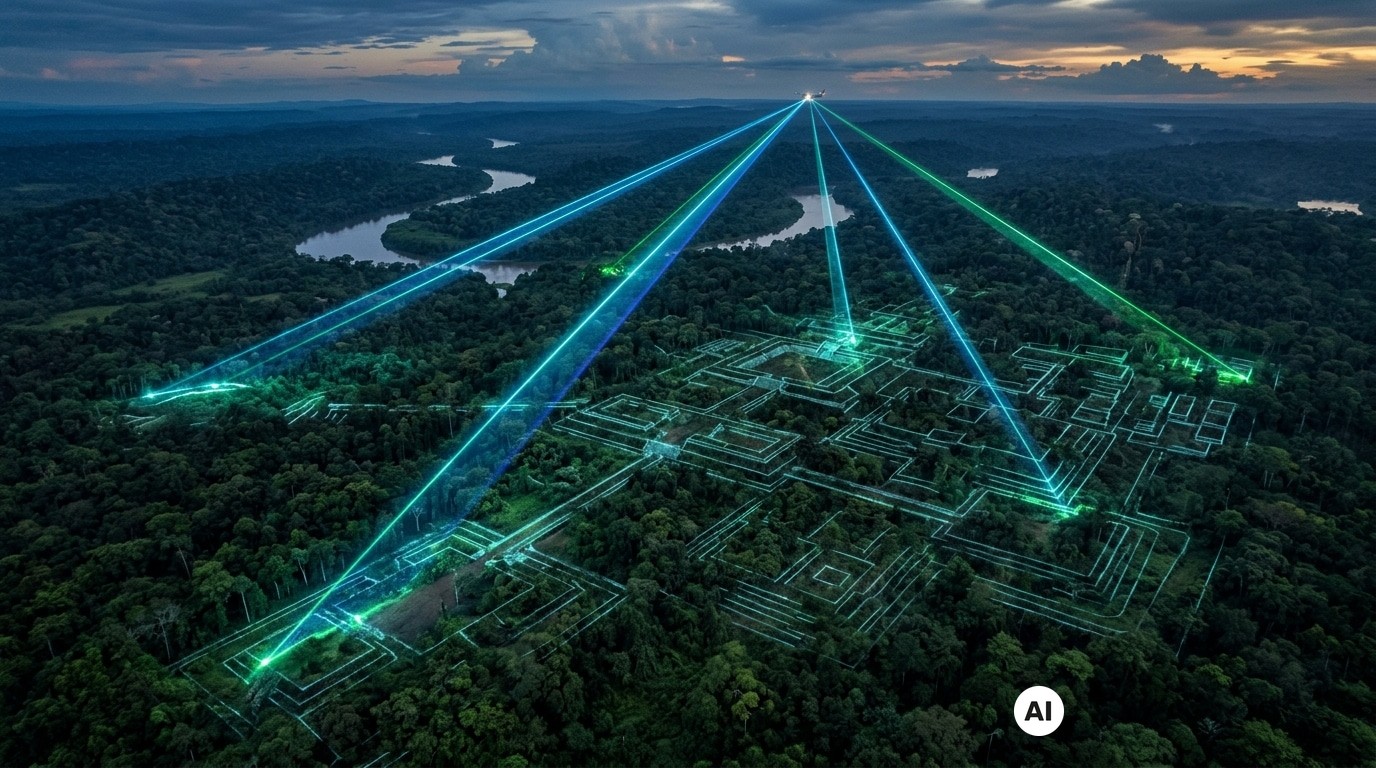
In the height of summer, one naturally pictures the Amazon as an impenetrable green wall, a sea of leaves swallowing everything. And if beneath that canopy there lay traces as precise as a cadastral plan, drawn into the earth for more than two millennia? That is precisely what LiDAR technology reveals today: by “ruffling” the forest without felling a single tree, airborne laser scanners bring nearly 400 structures into view that were previously invisible, as if the jungle were quietly concealing the footprint of a remarkably organized society.
These discoveries shift the focus: they strengthen the notion that the Amazon housed societies capable of shaping the landscape. The geoglyphs identified across roughly 4,500 km² tell a story of planning, collective labor, and ancient, large-scale occupation. At stake, a vertigo-inducing question: how much remains to be discovered beneath the current forest?
A Laser in the Sky, and Cities Rise from the Ground
LiDAR functions like a highly precise flashlight from above: it emits laser pulses and measures the returning signal. Some portions bounce off the vegetation, others reach the ground. By compiling these returns, one obtains a relief free of foliage, capable of revealing shapes the eye on the ground cannot discern. The result is striking: on nearly 4,500 km² scanned, 396 new geoglyphs have been identified, adding a substantial chapter to an already rich archaeological map.
Why were these structures invisible before? First, because the canopy acts as a screen; second, because erosion and vegetation blur ground contours; and most importantly, because these works make sense at large scale: they are better understood as plans than as “objects.” LiDAR highlights what matters: ditches, earthworks, geometric traces, and alignments. And when shapes repeat, when density increases, that suggests a spatial organization on a grand scale. Yet a crucial caution remains: not everything has been scanned, some datings must be confirmed, and interpretation must avoid the lure of an adventure story.
Giant Ditches: What Are They For? The Real Role of Geoglyphs
Credit: © Martti Pärssinen
What does an Amazonian geoglyph look like? They are monumental geometric forms: circles, squares, polygons, carved by deep ditches and outer earthen mounds. These works demand time, coordination, and a shared vision, because moving earth and maintaining clean outlines requires collective effort and a common goal. Their architecture points less to urgent defense and more to the intention of organizing a space in a way that is legible, almost “public.”
These sites are often described as centers rather than fortresses: gathering spaces, ceremonial venues, and hubs of political decision-making. Around them, inhabitants lived in long, multi-family houses, signaling a collective organization of daily life. The economy appears compatible with the forest: crops such as maize and gourds are mentioned, implying cultivated soils and a maintained landscape, not merely something endured. Oral traditions also hint at a relational and cosmological dimension, aiming to sustain links between communities and beings from another world, even if the details remain hazy. And that is the core challenge: without written records and with fragile organic traces, a single site could have served multiple purposes over time.
Aquiry, a Name for a Civilization… and a Vast Question Mark
Behind these terrace-like features, researchers connect the works to an ancient society named Aquiry, which emerged roughly 2,500 years ago in Brazil and later vanished, for reasons that are not yet clear. The constructions are believed to be distributed over a wide range, between 600 BCE and 850 CE, suggesting a long story: generations may have revisited, transformed, abandoned, or reinvented the same places, with phases of expansion and reorganization.
The name “Aquiry” comes from the Acre River and means “river of the caimans” in an Arawak language. This river links zones from Peru and Bolivia to the Brazilian states of Acre and Amazonas, a useful reminder: we are in a vast area crossed by movement and exchange. Around 1,700 geoglyphs are already known in the region, but there may well be more than 20,000 that remain undiscovered. And when a population figure is mentioned, it must be handled carefully: to support it, researchers cross-check site density, agricultural capacity, and the organization of settlements. Lasers do not directly yield population counts, but they reveal arrangements that help define the scale of ancient occupations.
What These 400 Discoveries Force Us to Reconsider, and What LiDAR Will Track Next
These nearly 400 newly identified geoglyphs compel a rethink: the Amazon is not merely a natural backdrop, but a shaped landscape. Other LiDAR-based transects, covering about 5,315 km² (roughly 0.08% of the Amazon basin), have already shown how a small window of observation can upend the scale, with models suggesting that between 10,272 and 23,648 large sites might still lie undiscovered. In other words: the more we look, the more the map fills—even in areas that were not cleared for agriculture.
The logical next steps combine new fieldwork with new cautions: targeted excavations, datings, soil analyses, and mapping of potential connections. Yet there is also an urgency to protect: documenting a site makes it visible, and visibility can render it more vulnerable in contexts of deforestation, looting, or land pressure. This is where LiDAR plays an ambivalent role, often likened to a form of “digital deforestation”: seeing the ground without cutting, in order to understand and, ideally, to protect.
Ultimately, the revelation is simple and powerful: a new laser-based reading of the Amazon rainforest reveals hundreds of terrace-like features attributed to a civilization about two millennia old. And if these geometric shapes, long swallowed by vegetation, were only the opening lines of a much larger story, the question is no longer merely “what lies beneath the canopy?” but “how many pages of human history remain to be made legible, without destroying the book itself?”
Source: Hundreds of Geoglyphs Discovered in Amazon Rainforest (archaeology.org)
Article prepared with the help of AI · Our method