
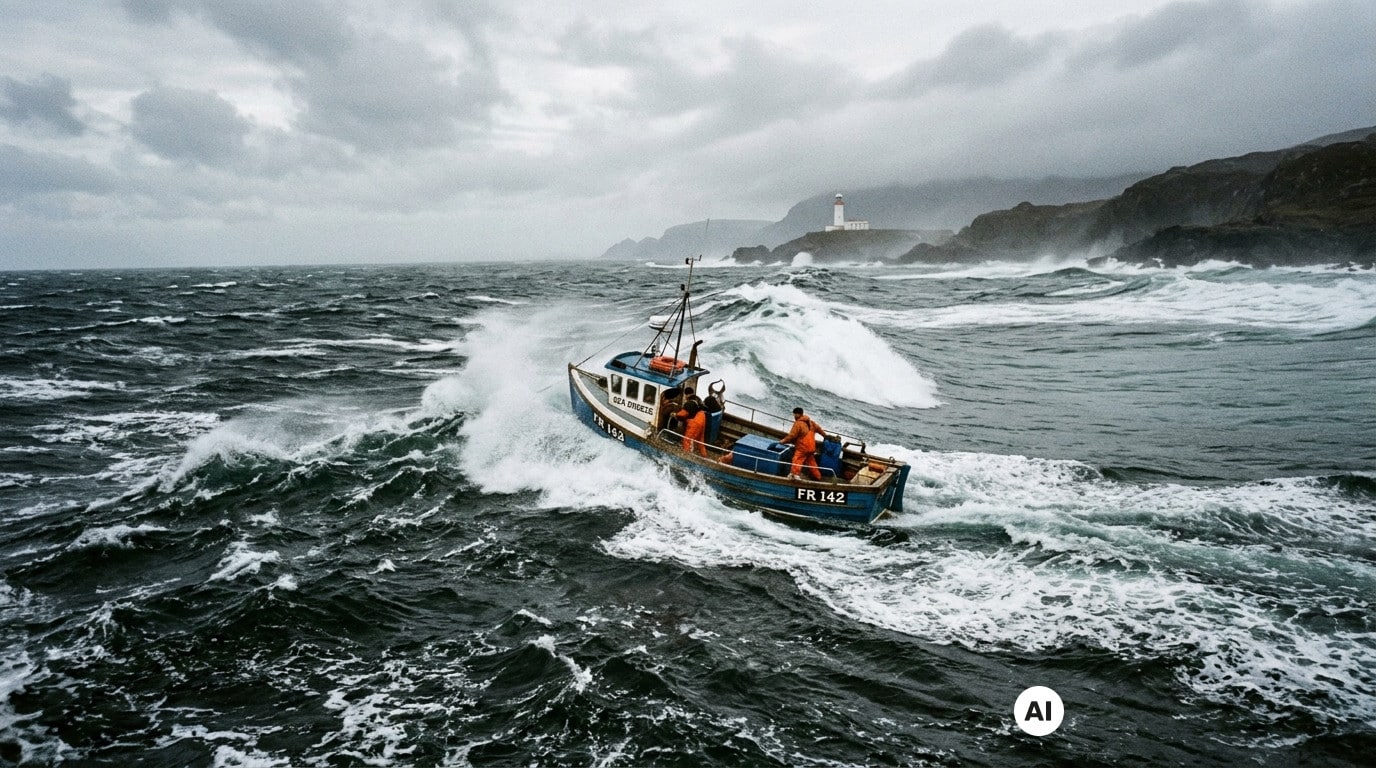
A marine weather bulletin forecasts a moderate wind and a sea that looks calm on paper, yet a sea outing ends up turning into a sour memory. This gap between forecast and the reality of the chop is far from accidental: it results from precise mechanisms that rescue professionals know well. In an article published in July 2026, the SNSM draws attention precisely to a phenomenon still too little understood by the general public, namely wind against current. Understanding this mechanism helps avoid many unpleasant surprises, whether you are a recreational sailor, a swimmer, or simply a swimming enthusiast.
When the wind opposes the current, the sea changes without warning
The sea is never fixed, and its state depends on far more than the wind’s strength alone. When the wind blows in a direction opposite to the current, the sea state can become rougher and harder to interpret. Adrian Bannister, trainer of rescue crews for the RNLI, explains that his teams consistently take into account the direction of the wind and that of the currents before heading out to sea.
Their opposition can indeed render the water surface more disorderly and more violent, even when conditions seemed reasonable just minutes earlier. The SNSM echoes this observation by noting that crossed seas, those zones where waves become unpredictable, appear particularly when the wind turns, when waves trains cross with a long-traveling swell, or during rebounds along the coast. Wind against current fits into this same family of phenomena capable of transforming a sea that looks calm into a much rougher environment.
Why the displayed kilometers per hour don’t tell the whole story
Looking only at wind speed in kilometers per hour gives an incomplete, or even misleading, picture of what maritime users will actually face. A wave is not a displacement of the water mass, but a propagating wave, and it can travel long distances with little direct link to the local wind. The most telling example remains the storm that hit in December 2024 in the North Pacific: it generated 20-meter waves whose crests traveled 24,000 kilometers before fading in the tropical Atlantic, two weeks later.
Similarly, on August 26, 2025, a swell alert was triggered due to Storm Erin, which had crossed the entire Atlantic, even though the sky remained clear along the affected coast. The broad dissemination of warnings helped prevent tragedies. After all, wind alone is not enough to create waves: you also need a sufficient fetch, i.e., a long enough distance of wind blowing over the water. This explains why, in southern Brittany, a land breeze can be ideal for coastal sailing boats that enjoy wind without waves, while remaining hazardous for floating devices like inflatable mattresses or buoys, carried far from shore without opposition from swell.
How to spot signs of a chopped sea before heading out
Before any sea excursion, the reflex to adopt is to check sea state forecasts, not only those concerning wind, in the marine weather bulletins from Météo-France. The sea can indeed prove much stronger than what the reported wind speed would suggest. On the spot, certain signs should alert you: waves crossing in different directions, or swell arriving even when the sky remains clear, as in the Erin storm episode. The breaking of waves also depends on the slope of the seabed: the steeper the slope, the more violent the breaking, which makes areas with steep seabeds zones to watch especially.
Remembering that the sea obeys logics that go far beyond a simple wind display changes the way one approaches each outing, whether it is sportive or leisurely. Between wind against current, fetch effects, and crossed seas, opportunities for surprise are plentiful, but they become much easier to anticipate once one takes the time to look beyond the numbers. A careful eye on the sea state, in addition to the wind bulletin, remains the best way to enjoy the coast without unpleasant surprises.
Article prepared with the help of AI · Our method