
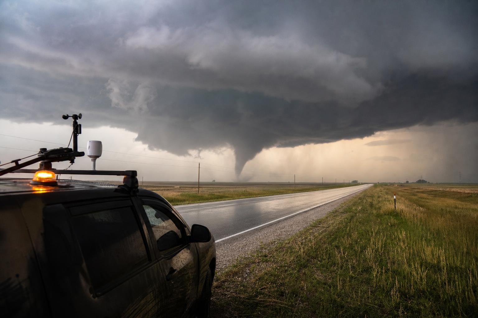
I’m a meteorologist, and I’ve watched our maps change in ways that should make every resident of the Mid‑South sit up. The nation’s most persistent severe‑weather corridor is no longer confined to the open Plains; the bull’s‑eye for dangerous tornado environments has been sliding east into Tennessee and Mississippi. This isn’t a hunch—it’s what the data and the landscapes are telling us.
The records show an eastward drift
Over the last couple of decades, peer‑reviewed work by researchers like Victor Gensini and Harold Brooks has highlighted an eastward shift in tornado‑friendly environments—the overlap of moisture, instability, and wind shear that spins up supercells. Reports logged by the Storm Prediction Center reflect a growing share of strong tornadoes in the Mid‑South and Southeast, even as traditional High Plains “hotspots” see a relative decline. Put simply, the atmosphere’s ingredients are lining up more often from the Arkansas Delta through northern Mississippi and into Middle Tennessee.
“Here’s what the data show,” I tell people at community briefings. “The places that used to get the worst of it every spring still see big days, but the consistent, higher‑impact setups are nudging farther east.”
Why the target is shifting
Think about the Gulf. A warmer, moisture‑rich boundary layer is surging inland more reliably, feeding higher dew points into forested, rolling terrain east of the Mississippi River. Add a strong low‑level jet, subtle shortwave energy from western troughs, and a surface pattern that favors warm‑front lift, and you have repeatable “Dixie Alley” setups. La Niña‑leaning springs often supercharge this signal, but even outside ENSO cycles, the background climate is stacking the deck for more cool‑season events.
None of this means every year will be active; weather is variable. But the baseline likelihood of significant tornado environments has risen in the Mid‑South, especially in late fall through early spring, when nocturnal storms thrive on strong shear and rich moisture.
The human factor makes it worse
Hazard is only half the story. Vulnerability amplifies the risk. The Southeast has higher population density, more manufactured and mobile homes, and heavily wooded landscapes that hide approaching storms. Radar coverage degrades with distance from towers, and beam height over complex terrain can miss the lowest‑level wind features that matter most.
Nighttime is the other cruel multiplier. A disproportionate share of Southeastern tornadoes strike after dark, catching people asleep, sirens masked by rain, and visibility near zero. That’s why this region sees a higher percentage of tornado fatalities, even when total annual counts look similar to elsewhere.
“As a forecaster, I fear 2 a.m. more than 2 p.m.,” I often say. “At night, the atmosphere does the talking, and people can’t always hear the message.”
Recent outbreaks are a warning
You’ve seen the headlines. The April 2011 outbreak that devastated Alabama and Mississippi. The March 2020 tornadoes that carved through Middle Tennessee. The December 2021 late‑season event with long‑track, violent tornadoes from Arkansas into western Kentucky. The March 2023 Rolling Fork, Mississippi, storm that raced through under cover of darkness. Different synoptic setups, same bottom line: high‑end ingredients repeatedly focusing east of the Plains.
These aren’t isolated anomalies stitched together after the fact. They’re consistent with the environmental shift we measure—more days with high CAPE coexisting with robust low‑level shear, and more cold‑season windows where the Gulf stays open for business.
What you can do now
Preparedness beats panic every time. If you live in Tennessee, Mississippi, or neighboring Mid‑South counties, act before the next watch is issued:
- Get a NOAA Weather Radio with battery backup; enable Wireless Emergency Alerts on your phone; know your safe room (lowest level, interior, no windows), and keep helmets, hard‑soled shoes, and a whistle there; practice a 30‑second drill; and, if you’re in a mobile home, pre‑arrange a sturdier shelter you can reach quickly.
“Preparedness is the only forecast you fully control,” I tell families at school and church events. That message lands, because it’s true.
How forecasting is adapting
The science is not standing still. Dual‑pol radar has sharpened debris signatures; machine‑learning guidance flags tornado‑favorable corridors hours in advance; and probabilistic outlooks help emergency managers stage resources where they’re most needed. Researchers are testing rapid‑scan, phased‑array systems to cut warning latency and improve lead time when storms spin up fast.
Building codes and community design matter, too. Safe rooms in new schools, hardened roof‑to‑wall connections in homes, and more public shelters near manufactured‑housing communities save lives. These are policy choices, not mysteries.
The road ahead
Expect more variability year to year, but plan for a landscape where severe‑weather peaks are increasingly common in the Mid‑South—not just in April and May, but also in November, December, and early March. Watch the Gulf temperatures, the strength of the low‑level jet, and the placement of warm fronts draped across Tennessee and Mississippi. When those ingredients line up, act like you’ve got one job: get to your safe place, fast and decisive.
Weather will always surprise us, but trends are teachers. Right now, they’re pointing east, and they’re asking us to be ready—not scared, just serious.