
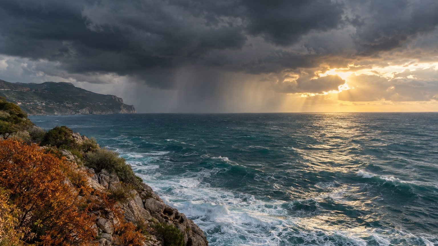
One degree higher at the surface of the Mediterranean, and the air above it can hold 6 to 7% more water vapor. The Magnus formula, used by meteorologists to calculate saturated vapor pressure, yields this figure in a few lines. Applied to the temperatures of a sea still warm in autumn, it helps explain how a department like Gard receives in a single night rain that would normally be spread over several months.
Between 20 and 24 °C, the accumulated difference exceeds 27%.
- The Magnus formula calculates that one additional degree of sea-surface temperature increases the air’s capacity to hold water vapor by about 6 to 7%.
- Four additional degrees, from 20 to 24 °C, increase the air’s water-holding capacity by nearly 28%, as if a glass became a glass and a quarter.
- Valleraugue received 500 mm of rain in 12 hours in September 2020, the equivalent of three full bathtubs per square meter of ground.
What the Magnus formula says
The formula reads es = 6.112 × exp(17.62 T / (243.12 + T)), with es in hectopascals and T in degrees Celsius. At 20 °C, it yields a saturated vapor pressure of about 23.3 hPa, i.e., the maximum amount of water vapor the air can carry before water condenses. At 21 °C, it rises to 24.8 hPa, i.e., +6.4%. The per-degree gain diminishes very slowly as temperature increases: +6.3% at 22 °C, +6.2% at 24 °C.
People often read “about 7% per degree” in the press and in manuals. This figure is the order of magnitude given by the Clausius–Clapeyron relation, and the difference with the Magnus calculation is explained by rounding. Writing “6 to 7%” covers both.
Degrees add up much like compound interest, each applying to a base that has already increased. Four more degrees, from 20 to 24 °C, raise the air’s capacity from 23.3 to 29.8 hPa, i.e., nearly 28% more water vapor. It is like a glass of water becoming a glass and a quarter, without the glass itself having changed.
Why autumn, and why the Gard
According to Météo-France, Mediterranean episodes occur mainly from September to mid-December. The sea has stored the heat of summer, which favors strong evaporation. They occur on average 3 to 6 times per year, according to the same agency.
The southerly wind pushes this hot, humid air inland. It then meets the terrain, the Cévennes for the Gard, the Montagne Noire further west, and the water pours down there. Météo-France sums up the result this way: the equivalent of several months of precipitation falls in a few hours or a few days. The storms can remain stuck in one area, concentrating the total on a few communes.
Valleraugue, in the Gard, received 500 mm in 12 hours in September 2020.
A millimeter of rain corresponds to a liter per square meter, so 500 mm represent 500 liters on every square meter of ground. That is roughly three well-filled bathtubs poured onto each square meter of lawn, parking, or riverbank. In a Cévennes valley, where slopes funnel water toward narrow river beds, such a volume can raise a river in a matter of minutes.
What the calculation does not predict
The Magnus formula measures what the air can hold, not what falls. For that reserve to empty, there must be a mechanism to precipitate it: a southerly flow that brings humidity, a landscape that lifts it, cooler air aloft that condenses it. Without this mechanism, a warm sea yields heat but not a deluge. The researcher Davide Faranda, quoted by franceinfo, expresses it thus: a warmer sea can strengthen precipitation intensity when atmospheric conditions are in place.
Thus the percentage does not mechanically translate into millimeters. It sets a ceiling, and the day’s conditions determine the share of that ceiling that is reached. Predicting the exact location and time of a stationary thunderstorm remains in the realm of numerical models and forecasters, not of a single equation with one unknown.
On 30 September, Météo-France placed the Gard and Hérault on red rain-flood vigilance, with 280 to 330 mm accumulated between Le Vigan and Saint-Hippolyte-du-Fort according to its bulletin. The season runs until mid-December: until then, the Météo-France vigilance map and the prefecture’s instructions remain the tools to consult before traveling in flood-prone areas.
Sources: notre-planete.info | presseagence.fr
