
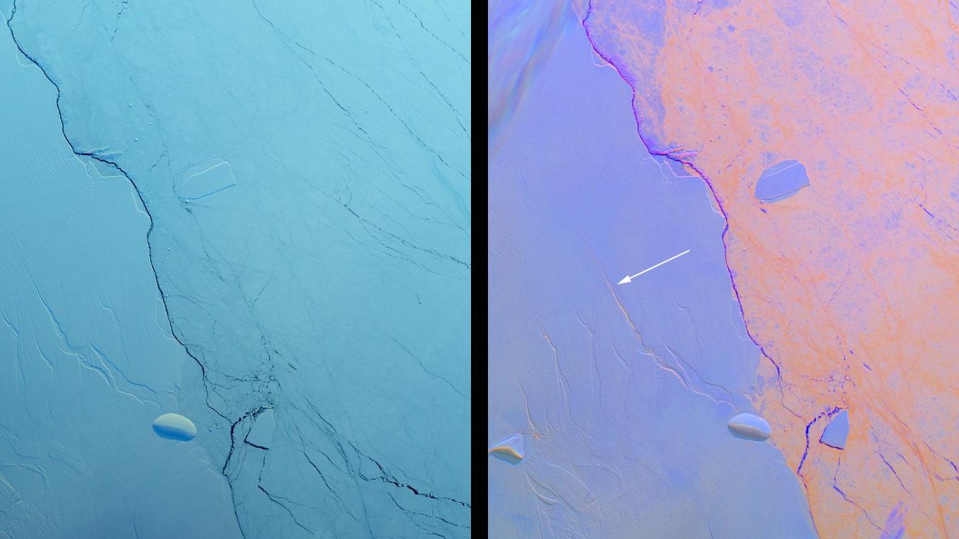
In just a bit more than a month in 2002, an ice shelf the size of a department literally released the glaciers it had been holding back behind it. On the eastern coast of the Antarctic Peninsula, researchers who daily sifted through satellite images watched, astonished, the near-total fracturing and collapse of Larsen B in just over a month.
- The Larsen B shelf lost 3,250 square kilometers of ice in 35 days between January and March 2002
- Floating ice does not directly raise sea level, but it restrains land-based glaciers
- The released glaciers accelerated up to eightfold, from 2–4 to 22–40 gigatonnes per year
- MODIS, Envisat and Landsat satellites documented the collapse and its consequences in near real time
Thirty-five days to erase an ice shelf from the map
Thirty-five days were enough to erase this ice shelf from the map.
Between January 31 and March 7, 2002, the shelf suddenly shed 3,250 square kilometers of ice, an area slightly larger than Rhode Island, casting a vast field of icebergs into the Weddell Sea. By way of comparison, it is almost the area of the Rhone department. The European satellite Envisat, barely in orbit on March 1 of the same year, captured the end of this debacle just a few days after launch, surprising scientists with the speed of fracturing. The MODIS cameras onboard NASA’s Terra satellite were already following the scene day by day since late January, documenting the shelf’s agony almost in real time.
Glaciologists had known the structure had become fragile after several seasons. A succession of unusually hot summers had increased the meltwater on the ice surface, which infiltrated crevasses and widened them until rupture followed. Larsen B was not a first: seven years earlier, in January 1995, its neighbor Larsen A had already lost about 1,500 square kilometers in a collapse of the same type—less dramatic but foretelling.
A floating ice shelf that doesn’t raise the sea
Its disappearance did not cause sea levels to rise by a millimeter, contrary to what intuition might suggest. The floating ice shelf had already been sitting on the ocean for millennia, just like an ice cube in a glass of water: the portion submerged already occupied the space it left behind as it melted. Larsen B’s real role lay elsewhere: its part that rested on the seabed acted as a buttress against the continental glaciers that flowed into it, slowing their march toward the ocean.
This buttress disappeared in a month.
The released glaciers, the real threat to sea level
The follow-up occurred in the months that followed, measured by satellite radar. The glaciers Hektoria, Green and Evans accelerated by a factor of eight between 2000 and 2003, while Jorum and Crane sped up two to three times during the same period. Further south, Flask and Leppard, kept in check by a remaining fragment of the shelf, did not accelerate, providing direct evidence that the removal of the ice buttress was driving the phenomenon.
A team from the University of Colorado confirmed the finding with Landsat 7 imagery: several glaciers began advancing up to five times faster than before the collapse. Across Larsen A and B as a whole, the acceleration averaged about 300%, and the mass loss rose from 2–4 gigatonnes per year in 1996–2000 to 22–40 gigatonnes per year in 2006. Another study, conducted at NASA’s Jet Propulsion Laboratory, quantified the mass loss linked to this acceleration at more than 27 cubic kilometers per year, with the ice thinning by several tens of meters annually. Glaciologist Ted Scambos, who led the Colorado study, summed up the situation in clear terms: “The Larsen area can be looked at as a miniature experiment,” a real-world demonstration of what warming can provoke.
The scale of these changes underscores how much ice shelves weigh on the mass balance of ice sheets and their contribution to rising sea levels. Antarctic satellite observation programs have confirmed the link: the glaciers feeding the vanished portions of Larsen began to flow faster toward the ocean, with direct consequences for sea level.
The fragment that still holds
Yet a small piece of Larsen B survived.
This remnant, resting on the coast of the Antarctic Peninsula, still covers about 1,600 square kilometers, with a thickness of nearly 500 meters at its thickest point. Glaciologist Ted Scambos, who continues to monitor it from space, does not mince words: “The Larsen B remnant is still holding back two large glaciers.” The same tools that captured the 2002 collapse—ICESat, Landsat, and MODIS at the forefront—continue today to scrutinize this fragment to observe what remains of the shelf and to anticipate the fate of the glaciers it still restrains.
Sources: earthdata.nasa.gov | esa.int
