
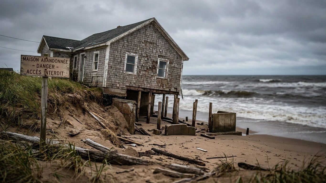
A seaside house can lose all of its market value even though not a single wall has cracked. What dooms it is not a disaster in the legal sense, but a slow, mapped, and well-documented movement: the retreat of the coastline. And this phenomenon, however certain it may be, does not entitle anyone to compensation.
- Coastline retreat is not covered by the natural catastrophe compensation regime because it is a predictable and progressive phenomenon.
- The Climate and Resilience Law requires coastal municipalities to map coastline exposure in the short term (0-30 years) and long term (30-100 years).
- As soon as a parcel appears on the exposure map, its price collapses because the information becomes mandatory for all players in real estate transactions.
Submersion, erosion: a legal boundary that almost nobody knows
The natural disaster regime, funded by an obligatory premium on home insurance contracts, rests on a precise logic: to compensate damages caused by a sudden and unforeseeable event. Compensation for marine submersion presupposes that an interministerial order confirms the state of natural disaster in the area concerned, and that the damages are a direct consequence occurring during the period defined by the order. The retreat of the coastline, by contrast, remains outside the regime. Unlike submersion, it is not covered by the natural disaster indemnity regime, because it is a predictable and progressive phenomenon, and not a sudden event.
You do not insure against a certain event.
The Le Signal building, at Soulac-sur-Mer in Gironde, erected 200 meters from the coast in 1967, found itself about ten meters from the ocean after the winter storms of 2013-2014, forcing its 75 co-owners to evacuate urgently in January 2014. The Conseil d’État ruled in 2018 that dune erosion does not count among the hazards eligible for compensation from the Barnier fund. The Constitutional Council had already validated this exclusion the same year, excluding owners threatened by erosion on sandy coastal areas from the regime applicable to marine submersion.
A budget amendment voted at the end of 2018 released 7 million euros, then a protocol signed in late 2020 between the State, the Soulac town hall and the Médoc Atlantique intercommunal community raised compensation to 70% of the initial value of the housing. This compromise, financed outside the Barnier fund, intentionally does not set a jurisprudence. According to the Aquitain Littoral Public Interest Group, up to 6,700 homes and shops could still be swallowed by the sea in the sole Nouvelle-Aquitaine region.
The Climate and Resilience mechanism: mapping before it cracks
The Climate and Resilience Law of August 22, 2021 established tools to adapt urban planning and coastal development to coastline retreat. It provides for the creation by decree of a list of municipalities whose urban planning action must be aligned with erosion phenomena. The first decree of April 29, 2022 included 126 communes. The 4th decree, published February 13, 2026, increases the list to 371 communes.
Sellers and landlords must now inform the buyer or tenant.
Each registered commune must prepare a map of coastline evolution for the short term (0-30 years) and for the long term (30-100 years). In the 30-year horizon exposed zone, a restrictive list tightly governs the works and constructions that are allowed. Between 30 and 100 years, demolition and land restoration obligations apply to certain buildings. Municipalities also have a pre-emption right, automatic in the 30-year zone and optional beyond it.
For Le Signal, it was ultimately the Soulac town hall and the Médoc Atlantique intercommunal community that became the owners of the building, before initiating its demolition. The project, launched on February 3, 2023, was planned to last three weeks.
The price freezes before the cliff moves
As soon as a parcel enters the exposure map, the information becomes public and binds all actors in the transaction. The buyer discovers it in the planning document, the bank flags it during file processing, the insurer incorporates it into its risk assessment. The price closes off before the cliff has moved another meter.
Some houses no longer find any buyers.
The respective municipalities are required to integrate this map into their planning documents and to delineate zones subject to specific land-use rules. The objective of the approach is precisely to inform and make erosion visible to as many people as possible. Once a parcel is classified, real estate negotiations change in character: the buyer no longer negotiates only the state of the property, but the remaining lifespan before it enters the 30-year zone. The seller often learns the news at the same time as their notary.
Chalk that breaks, dune that slides: two erosions, one verdict
The retreat of the coastline does not follow a uniform rhythm; it depends on the nature of the shore. On cliffed coasts, retreat occurs in bursts: nothing happens for months or years, then suddenly several thousand cubic meters can fall away in seconds. For chalk and the Tertiary sedimentary rocks, the average speed ranges between 0.1 and 1 meter per year, but a single violent episode can topple an entire stretch of cliff.
The dune cord does not collapse in one go: it migrates.
Each storm gnaws at the base of the dune via the toe, that tongue of water projected onto the intertidal zone at the moment of breaking, and the sand retreats inland instead of crumbling in a pan. It is this ongoing process that has eroded, at Soulac-sur-Mer, beaches disappearing at roughly 2.5 meters per year over the past decades. A retreat quieter than a cliff fall, but equally irreversible for anyone owning a house on the sand.
The equinoctial high tides, with coefficients that sometimes approach the maximum on the French scale, bring this calendar to residents’ attention each year. They add nothing to the administrative file of a parcel already classified in the 30-year zone, but they remind us that the line between cliff and dune, between sudden and progressive, continues to redraw itself with every big tide.
Sources : banquedesterritoires.fr | observatoires-littoral.developpement-durable.gouv.fr
