
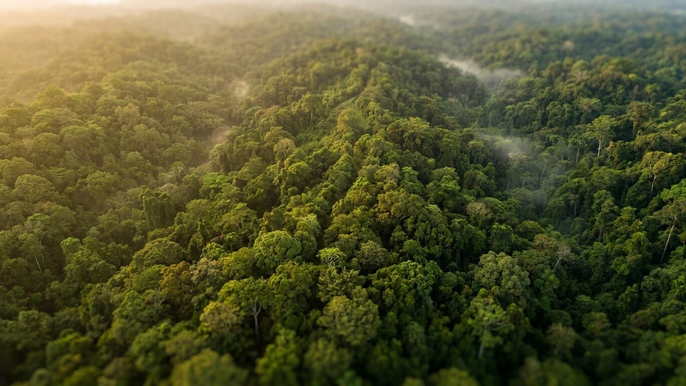
Under the Darién’s canopy, at the border between Panama and Colombia, the ground tells a story far different from the one it has long been thought to hold. An airborne LiDAR survey conducted in 2026 has revealed terraces, elevated road-like surfaces, and habitat mounds spanning hundreds of hectares in a zone that had been described as one of the last massifs of primary forest untouched by humans. The finding is unequivocal: where people imagined a nature unchanged for millennia, populations had shaped the terrain on a large scale, leaving reliefs that are invisible to the naked eye today but perfectly legible under the laser.
Key takeaways
- How can a laser reveal what centuries of jungle have camouflaged?
- Millions of pre-Columbian inhabitants left traces invisible to the naked eye
- Did the Amazon hide civilizations far more densely populated than imagined?
A Massif Presented as Pristine, Yet Shaped
Darién has long cultivated its reputation as an untouched sanctuary. The most remote zone of Central America, wedged between the end of the Pan-American route and the Colombian border, it has for a long time served as the absolute symbol of wild nature, the kind that even halts roads. Yet the region’s human history goes back much further than is commonly thought: according to archaeological research conducted in the province, the Darién was populated by Indigenous peoples more than 10,000 years ago, and this population numbered in the millions at the time of the arrival of the first Spanish colonists. This antiquity changes everything in how we read the current landscape.
Other clues existed before this LiDAR survey. In Panama, researchers had already identified the earliest known elevated fields in the country associated with a nearby habitat site featuring a terrace large enough to sustain a lasting human occupation. These sporadic discoveries, obtained through ground prospecting, represented only a tiny fraction of what the airborne laser has suddenly revealed over a much wider area.
How a Laser Sees Through Trees
The technique rests on a nearly straightforward principle, at an industrial scale. A sensor mounted on an aircraft or helicopter emits tens of thousands of laser pulses per second toward the ground. Most bounce off leaves, branches, and the dense canopy. But a tiny fraction passes through gaps in the vegetation and strikes the bare earth below. By isolating these returns and filtering out any signal from the vegetation, researchers reconstruct a digital terrain model freed from the forest, a kind of radiography of the ground.
The result reveals micro-reliefs of only a few tens of centimeters, altitude variations that no one could detect by walking through the jungle, buried beneath roots, litter, and the thickness of the canopy. It is precisely these hollows and bumps that, once assembled, outline agricultural terraces, raised roads designed to navigate floods, and mounds that once bore stilt houses or dwellings built of perishable materials now long gone. Nothing spectacular to the naked eye. Yet everything, in the cumulative reading of the data.
Darién Joins a Rapidly Lengthening List
This kind of discovery is no longer isolated, far from it. Just a few months earlier, an Equatorial team carried out a comparable survey in the Chocó Andino, near Quito: analysis of the data revealed more than 200 mounds and more than 100 terraces spread over an area of about 600 hectares, a result all the more striking because the studied zone represented barely two percent of the region. What had initially been documented as forty mounds and ten terraces transformed into a structured landscape, with circular and rectangular structures linked by ancient roads, suggesting a planned mode of occupation tied to productive, social, and ceremonial activities.
The phenomenon extends well beyond Central America. In the Brazilian Amazon, similar LiDAR campaigns have identified more than 400 ancient structures across thousands of kilometers of surveying, the vast majority of which had been completely unknown until now. According to researchers involved in these studies, there may be between 24,000 and 30,000 such monumental remnants still buried, challenging the idea of a sparsely populated pre-Columbian Amazon. Darién, with its terraces and raised roads spotted in 2026, fits into this same broad-scale revision of the history of settlement in tropical America.
What stands out most is the mismatch between the scale of the discoveries and the modest area actually flown over. In both the Equatorial region and the Darién, the mapped zones represent only a tiny fraction of the forest masses involved. If the density of structures observed holds up on a broader scale, we may be looking at thousands, not tens, of human developments waiting to be revealed beneath the rest of the Chocó-Darién canopy, an ecoregion that runs from Panama to northern Ecuador and hosts one of the planet’s richest plant biodiversities, with nearly 8,000 to 10,000 vascular plant species recorded.
A Living Forest, Not a Frozen Museum
The idea of an untouched primeval forest has long served as a conservation argument, almost romantically: to preserve what has never changed. The paradox is that these surveys show the opposite. These forests bore entire societies, with roads, raised-field terraces, and organized habitats. They simply had time to regrow on top of them, patiently, for centuries.
A practical, almost administrative question remains: these terraces and raised roads identified in Darién have not yet undergone ground excavations to date occupations precisely or identify the cultures that built them. LiDAR shows where to search; it does not say who dug, nor when exactly. Ground work, slower, more costly, and made perilous by the border zone’s security reputation, is therefore only beginning.
Sources: en.clickpetroleoegas.com.br | thearchaeologist.org
