
When you imagine a world map, a very specific image comes to mind: North America and Europe at the top, South America and Oceania at the bottom. But why this particular orientation? It is a standard we find on most maps, yet it has not always existed. The way we depict the world on a map is, in fact, the result of historical, cultural, and technological choices.
The traditional orientation of maps
In antiquity, world maps were not oriented in a uniform way. On the contrary, the direction upward was highly variable, influenced by geographic, cultural, and even religious factors. For instance, the Egyptians, who revered the Nile as a lifegiving source, typically placed the South at the top of their maps, since that’s where the river originates. Similarly, in other ancient cultures, the eastward direction was often favored because it symbolized the Sun’s origin and, by extension, a sacred place.
In medieval Europe, this Eastward orientation was also widespread. Medieval maps often placed Jerusalem at the center, with the East at the top, not only for geographic reasons but also for religious ones. For Christians of the time, facing East was a symbolic gesture tied to Biblical Jerusalem, regarded as the center of the world.
Thus, before the modern era, the North did not hold a dominant position on maps. Civilizations chose their orientations according to their particular needs or beliefs.
The turning point: Mercator’s map
Only in the 16th century, with the rise of modern cartography, did North become the standard direction at the top of maps. The pivotal figure in this shift was Gerardus Mercator, a Flemish cartographer who, in 1569, published his renowned world map. Its aim was to facilitate sea navigation by precisely depicting maritime routes, especially rhumb lines—paths of constant bearing. To achieve this, Mercator placed north at the top, a choice that would not only revolutionize mapmaking but gradually take hold across Europe.
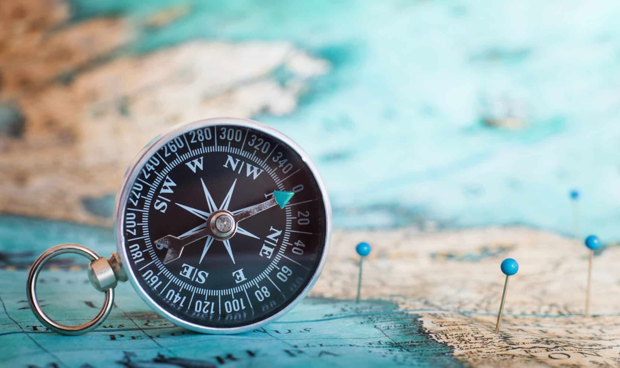
That decision was not simply a geographic matter but also a practical one. At the time, explorers and sailors relied on instruments such as the compass, which points to magnetic north, to navigate at sea. This reinforced the notion that North should be the reference direction on maps.
Moreover, the North Star, familiar to sailors since antiquity, played a crucial role. It helped mariners navigate the Northern Hemisphere, reinforcing the idea that North should be placed at the top of maps. In short, the compass and the North Star were key factors in standardizing this orientation.
A new approach in the modern era
Today, in the age of technology, map orientation has evolved with the advent of modern navigation systems. Digital maps, such as those used in GPS devices and navigation apps, no longer have a fixed orientation. They adapt based on our position and direction of travel. Therefore, North no longer needs to be at the top: map orientation becomes dynamic and depends on our own movement.
