
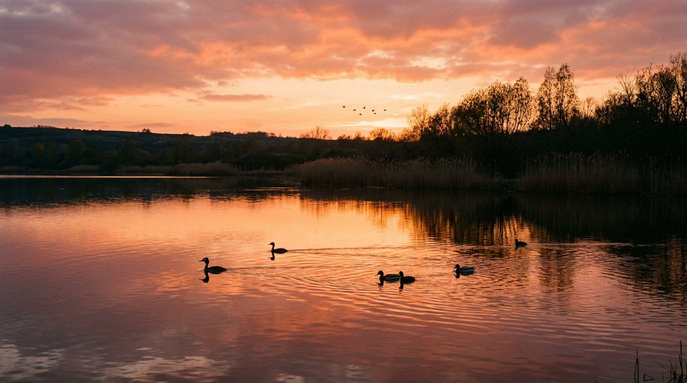
Birch trees with trunks of an almost unreal whiteness stand in the middle of a 100-hectare lake, all resting on a bed of black shale: the scene is sure to surprise any passerby wandering into the Raismes Forest in the North. And for good reason, this expanse of water did not appear on any map before the twentieth century. It is the product of an industrial accident transformed, over decades, into one of the region’s most beautiful natural sanctuaries. The story of this lake tells how man, in his quest to extract riches from the subsurface, sometimes created landscapes that nature itself would never have imagined.
- Mining subsidence, begun in 1916, formed three ponds that merged in 1930 to create a water body of about 100 hectares
- Classified as a national biological reserve in 1982 and managed by the National Forestry Office (ONF), Mare à Goriaux today hosts nearly 300 bird species
- The site is part of the Nord-Pas-de-Calais Mining Basin, listed as a UNESCO World Heritage Site
- Creuser sous les arbres : le pari risqué de la Compagnie d’Anzin
- Quand le sol cède, l’eau gagne 100 hectares de territoire
- Une cicatrice industrielle devenue sanctuaire pour la biodiversité
- De la mine oubliée au symbole écologique du Nord
Creuser sous les arbres : le pari risqué de la Compagnie d’Anzin
At the turn of the twentieth century, the Compagnie des mines d’Anzin was one of the most powerful coal operators in northern France. To feed furnaces and factories, it multiplied shafts and galleries, including beneath areas that might have seemed protected, such as the Raismes-Saint-Amand-Wallers forest. It was precisely from the Arenberg pit, in Wallers, that miners delved beneath the leafy canopy to reach coal deep underground.
This choice to exploit beneath a forested massif was not incidental. Each tonne of coal extracted left behind an underground void, and that void would eventually echo back to the surface. The engineers of the time knew this, but economic urgency often trumped geological caution. No one at that moment truly grasped the scale of the upheaval these galleries would cause above ground.
When the ground gives way, water gains 100 hectares of territory
The phenomenon began in 1916, as the ground started to sag in step with mining extraction. Three distinct ponds appeared where there had previously only been forest clearings. The name Mare à Goriaux actually hails from that rural era: in Picard dialect, the “goriaux” were the young pigs grazing peacefully on these lands, long before coal would upheave everything.
The ground continued to sink over the years, driven by the mechanical effects of galleries emptied deep underground. Submerging gradually below the water table, the land allowed the subterranean water to rise naturally to the surface. The three ponds grew, drew closer, and eventually merged in 1930 to form a single body of water. In the early 1970s, to prevent this groundwater from continuing to spread southward and threatening the nearby railway line, authorities built a spoil heap, No. 171, nicknamed the Arenberg Dam. Thus, almost inadvertently, a body of water of about 100 hectares was born where no old map had shown any trace.
An industrial scar turned sanctuary for biodiversity
What could have remained a simple landscape wound has, over time, become a true refuge for local fauna. As early as 1982, Mare à Goriaux was designated a national biological reserve and entrusted to the management of the National Forestry Office. The visual contrast of the site, between the water’s mirror, the pale birch bark, and the dark soil of the spoil heap, makes it a landscape almost unique in the mining scenery of the North.
In autumn this site takes on a special dimension: it is the period when many migratory species pause at the pond before continuing south. Today, nearly 300 bird species frequent these calm waters, whether for temporary stops or for nesting. This is not an isolated case in the region: a few tens of kilometers away, in Rieulay, a former shale spoil heap from mining was transformed, starting in 1975, into an ornithological reserve and a swimming area, proof that the North’s coal industry often left behind landscapes capable of being reborn as wildlife havens.
From the forgotten mine to the North’s ecological symbol
What strikes most when looking at Mare à Goriaux today is how a territory once defined by intensive coal exploitation has ended up becoming a model of ecological resilience. The site has become an integral part of the Bassin minier du Nord-Pas-de-Calais, listed as a UNESCO World Heritage site, not only for its industrial past but also for its ability to reinvent itself as a protected natural space.
This kind of transformation is not unique to the national context. The fortified galleries of the Maginot Line, in Alsace and Lorraine, now host one of the largest bat hibernation refuges in France, while the chalk quarries of Reims, dug since Gallo-Roman times for champagne, host each winter significant colonies of protected chiroptera. All these examples show that major human infrastructures, once abandoned or repurposed, can become playgrounds for life again.
There is something vertiginous about walking today along the edge of Mare à Goriaux, knowing that beneath its tranquil waters lie the deserted galleries of the Arenberg shaft. This landscape, born from an involuntary industrial subsidence, invites us to rethink our relationship with the scars that human activity leaves on the land. And perhaps, ultimately, some of our mistakes from yesterday could become the natural refuges that biodiversity will need most tomorrow?
